VT Section 3 Pictures - Milemarker 6.2 - 12.9
The Lookout - Stony Brook
Move your mouse across the pictures for more information.
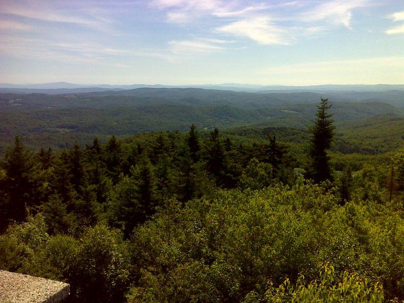
mm 6.2 View from the roof of the Lookout to the east towards New Hampshire and the White Mountains. GPS N43.6789 W72.6384
Submitted by pjwetzel @ gmail.com
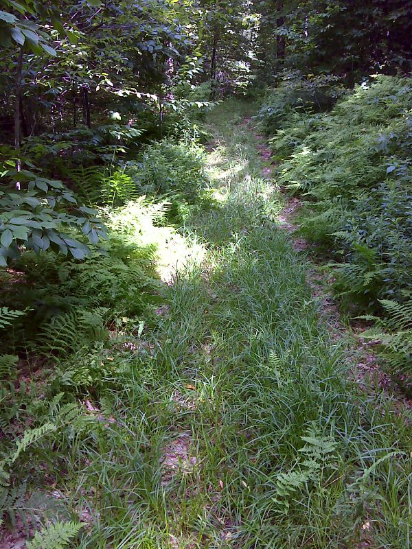
mm 7.5 Trail crosses a woods road. GPS N43.6817 W72.6560
Submitted by pjwetzel @ gmail.com
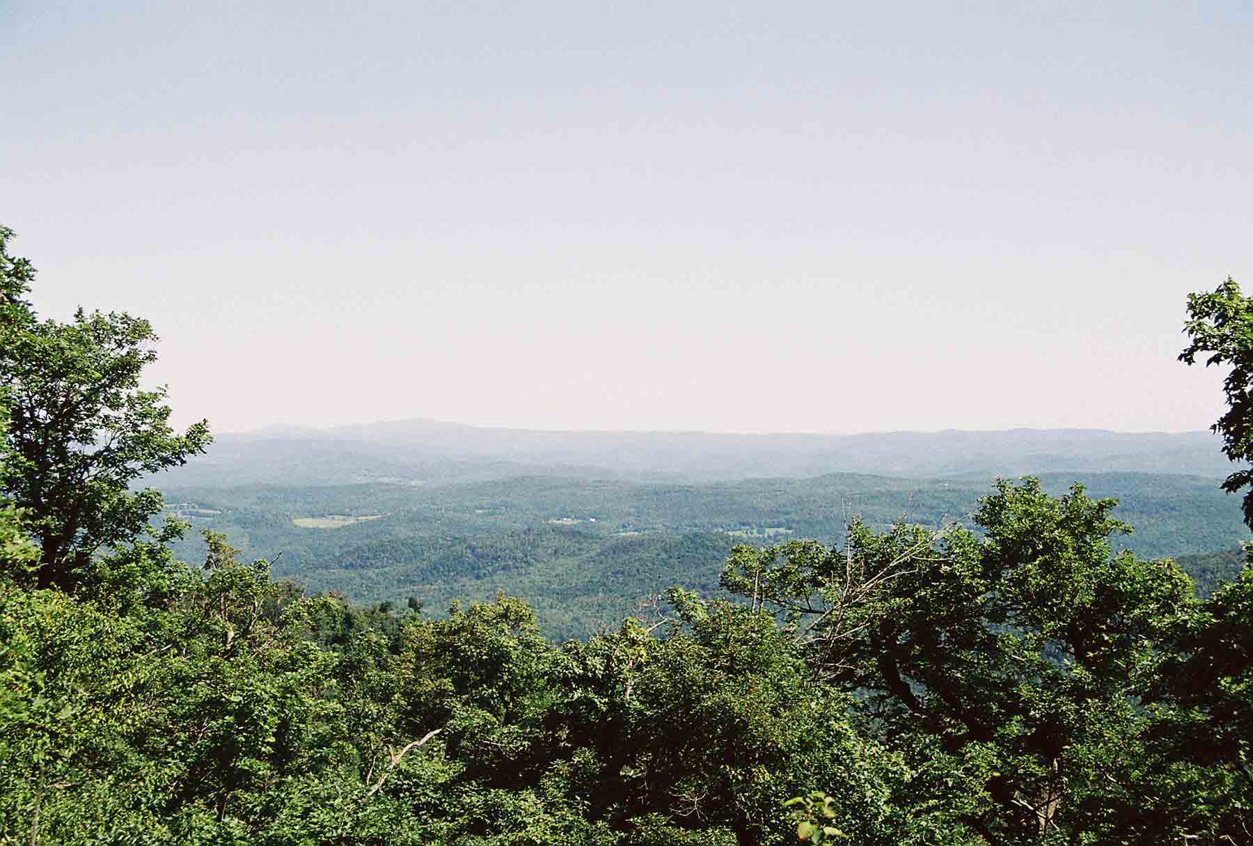
mm 7.8 - View NE from Lakota Lake Lookout. In the distance a range of mountains can be seen. The two peaks on the left are Mt. Cube and Smart's Mt in New Hampshire. The AT climbs both of these.
Submitted by dlcul @ conncoll.edu
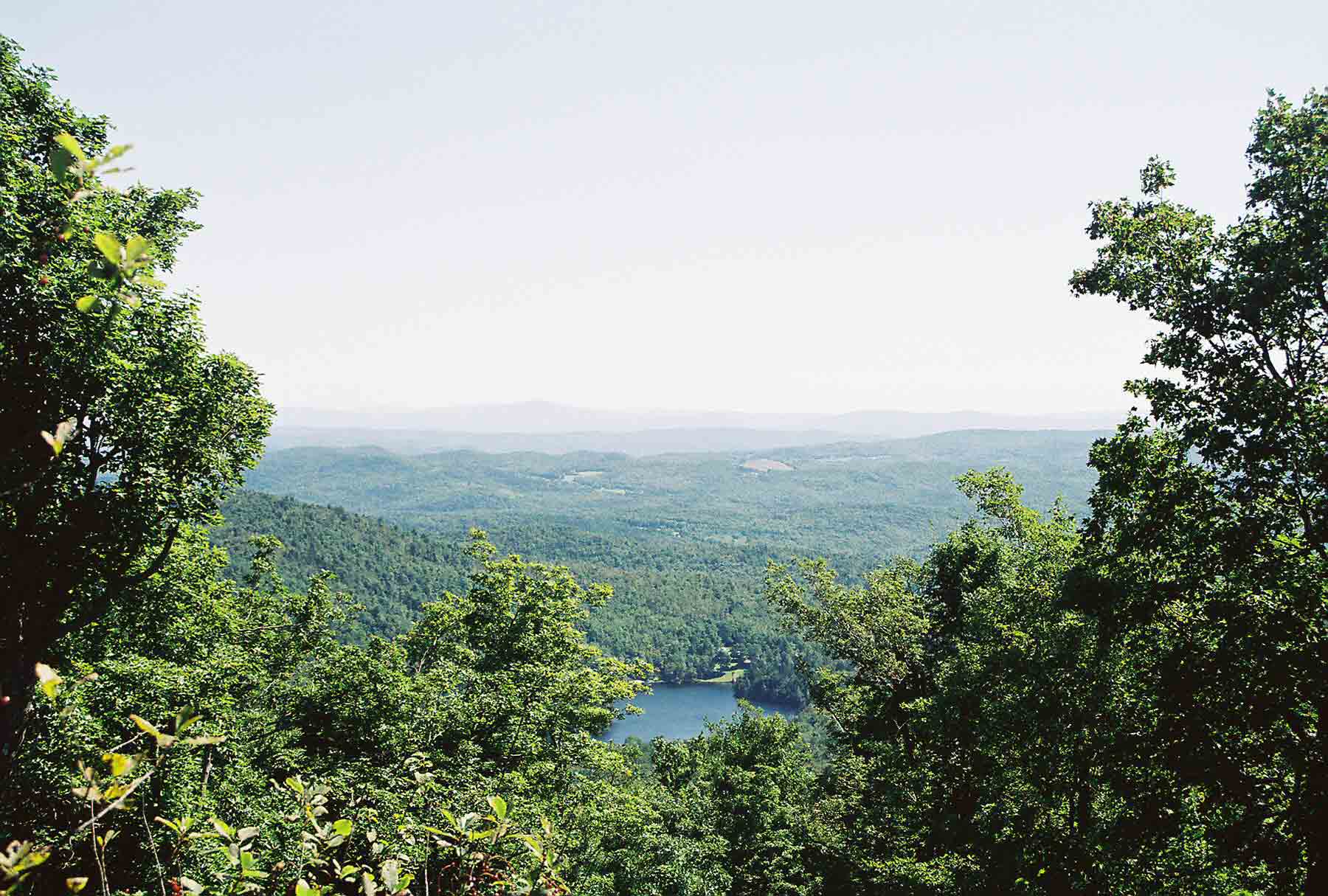
mm 7.8 - View from Lakota Lake Lookout. The lake in the foreground is (not surprisingly) Lakota Lake.
Submitted by dlcul @ conncoll.edu
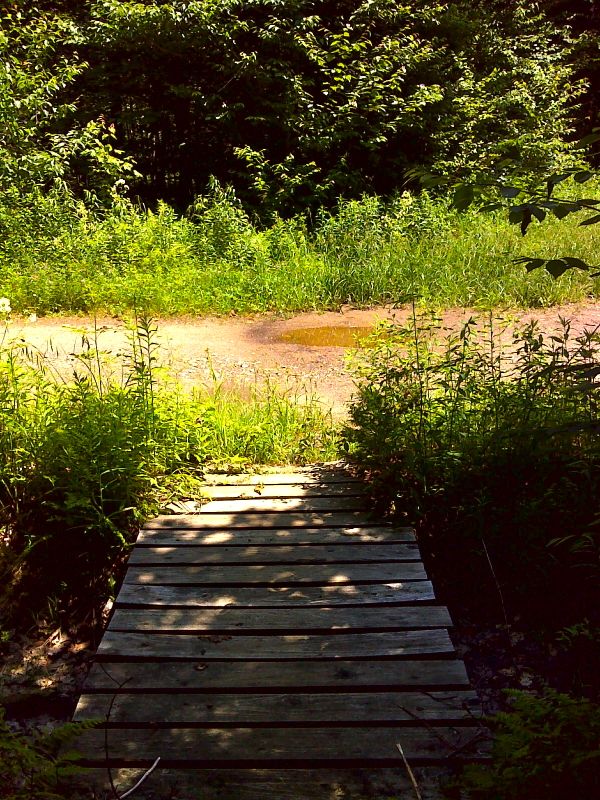
mm 9.0 Crossing of Chateauguay Road. There is some parking here which can be muddy, It is seldom used probably because of the poor condition of the road. GPS N43.6896 W72.6739
Submitted by pjwetzel @ gmail.com
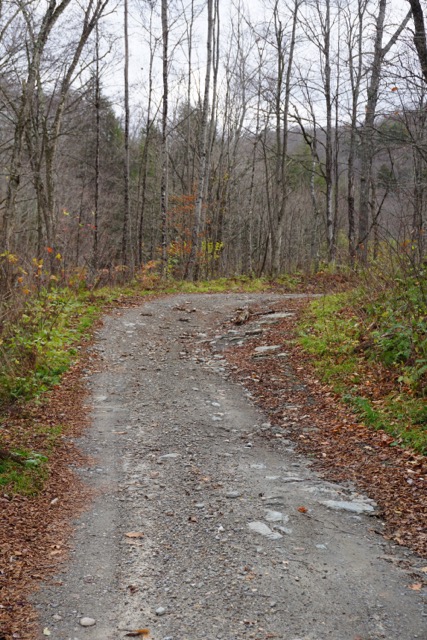
Stony Brook Road - November 2017: 5.5 miles south of Rt 107 the route narrows to a less maintained Class 4 road. My Subaru Forester had no problem driving this section to the clearing at Notown where we parked.
Submitted by jstrait @ adelphia.net
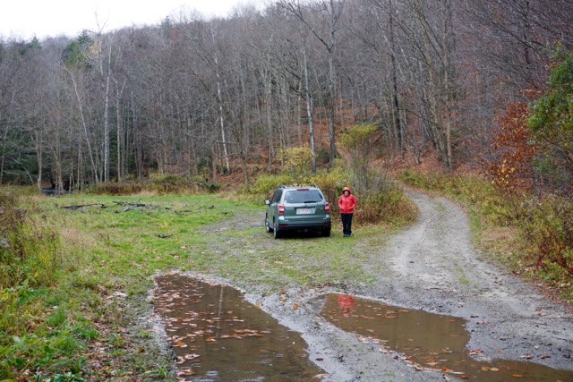
Stony Brook Road - November 2017: Notown clearing, 0.3 mile from AT crossing
Submitted by jstrait @ adelphia.net
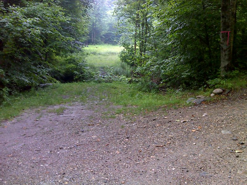
mm 12.9 Crossing of Stony Brook just east (trail north) of Stony Brook Road. When this picture was taken (2012) the bridge across Stony Creek had been destroyed by Hurricane Irene. It has since been rebuilt. In the foreground is some of the small area available for parking. GPS N43.6913 W72.7202 Courtesy pjwetzel@gmail.com
Submitted by pjwetzel @ gmail.com