VT Section 3 Pictures - Milemarker 13.5 - 18.2
Ladder - Boardwalk
Move your mouse across the pictures for more information.
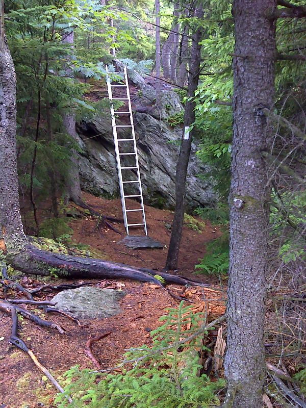
mm 13.5 AT uses an aluminum ladder to bypass a semi-tough scramble. GPS N43.6922 W72.7253
Submitted by pjwetzel @ gmail.com
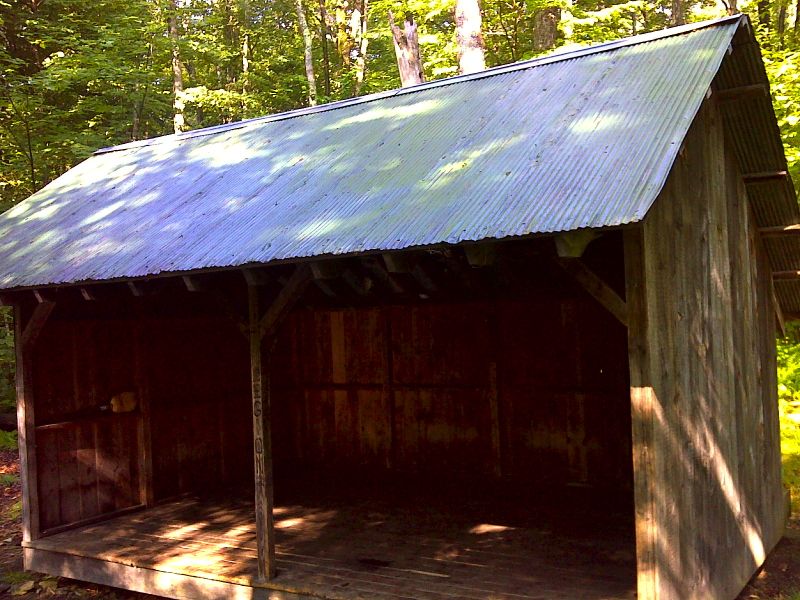
mm 13.7 Stony Brook Shelter. GPS N43.6918 W72.7301
Submitted by pjwetzel @ gmail.com
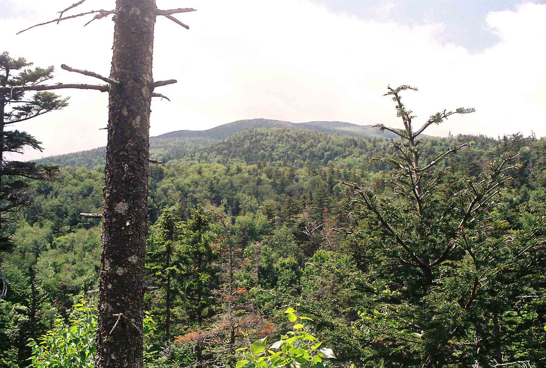
View from the vicinity of Stony Brook Shelter. Taken at approx. Mile 13.7
Submitted by dlcul @ conncoll.edu
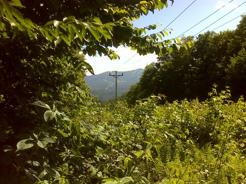
mm 16.2 View of Killington from power line crossing on ridge near Quimby Mountain. GPS N43.6904 W72.7647
Submitted by pjwetzel @ gmail.com

Coolidge Range from the AT east of River Road in Sherburne. Large Peak is Killington. Taken at approx. Mile 17.3.
Submitted by dlcul @ conncoll.edu
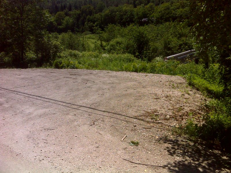
mm 18.0 Parking on River Road at the beginning of the east (trail north) end of the boardwalk across the Ottauquechee River floodplain. GPS N43.6807 W72.7821
Submitted by pjwetzel @ gmail.com
mm 18.0 The new Thundering Brook relocation replaces a road walk west (trail south) of River Road. This reroute required a footbridge (seen in picture) across the Ottauquechee River and an extensive boardwalk to cross the flood plain.
Submitted by dlcul @ conncoll.edu
Boardwalk across the flood plain of the Ottauquechee River. The red building in the picture has a sign on it as the Killington Hydroelectric Company, so apparently it was once a mill or small electricity generating plant. This is at the base of Thundering Brook Falls. Taken at approx. mm 18.2.
Submitted by dlcul @ conncoll.edu