VT Section 3 Pictures - Milemarker 21.4 - 22.7
View of Pico Peak - Maine Junction
Move your mouse across the pictures for more information.

View of Pico Peak. GPS N43.6685 W72.8227
Submitted by pjwetzel @ gmail.com

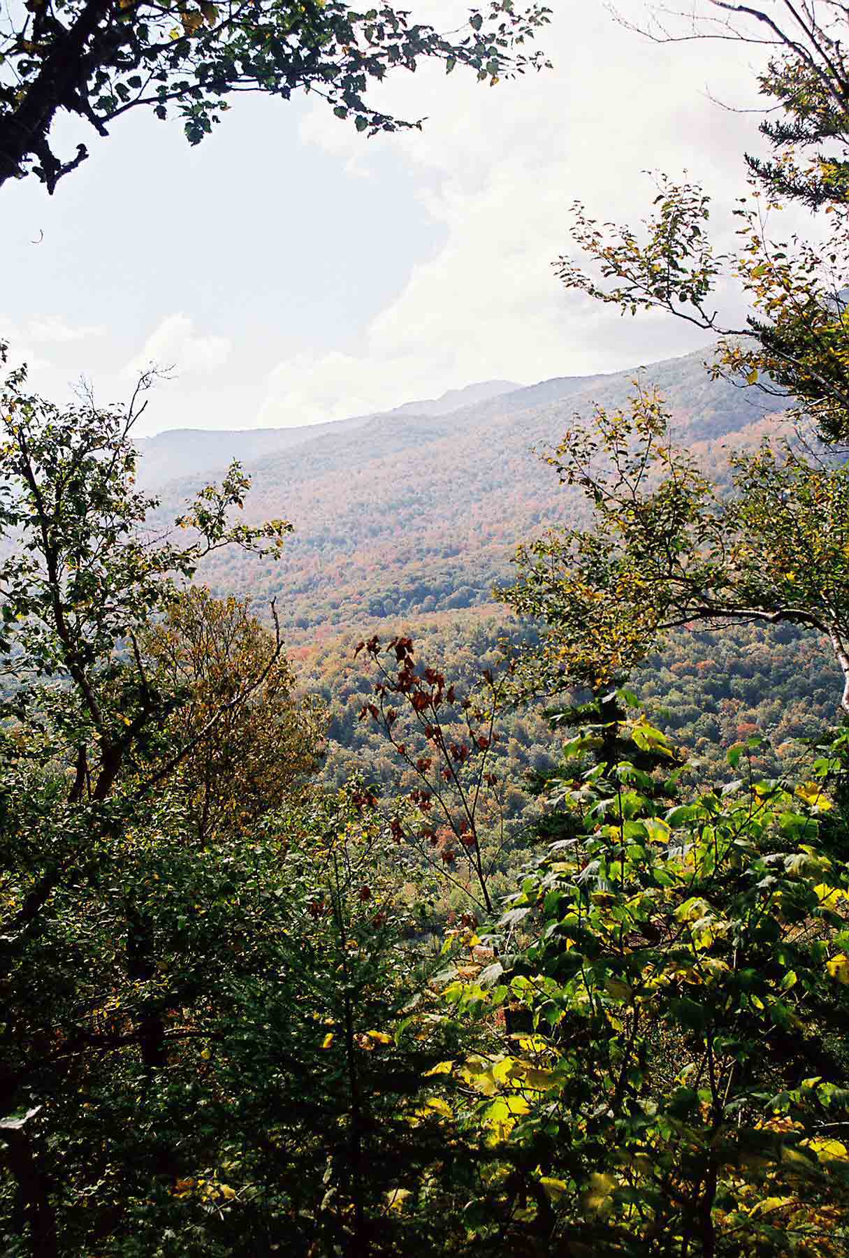
mm 21.5 - Looking from Ben's Balcony viewpoint located between VT 100 and the junction with the Sherburne Pass Trail. The summit of Killington can be seen.
Submitted by dlcul @ conncoll.edu

mm 21.5 View from Bens balcony. The highest peak visible is Killington. GPS N43.6692 W72.8247
Submitted by pjwetzel @ gmail.com

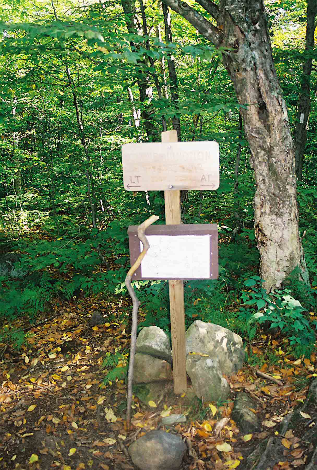
mm 22.7 - Sign at Maine Junction. For 104 miles south of this point, the AT and the Long Trail (LT)coincide. Here the LT continues north towards the Canadian Border. The AT goes east towards New Hampshire and eventually Maine.
Submitted by dlcul @ conncoll.edu