VT Section 4 Pictures - Milemarker 0.0 - 3.8
US 4 - Sherburne Pass Trail
Move your mouse across the pictures for more information.
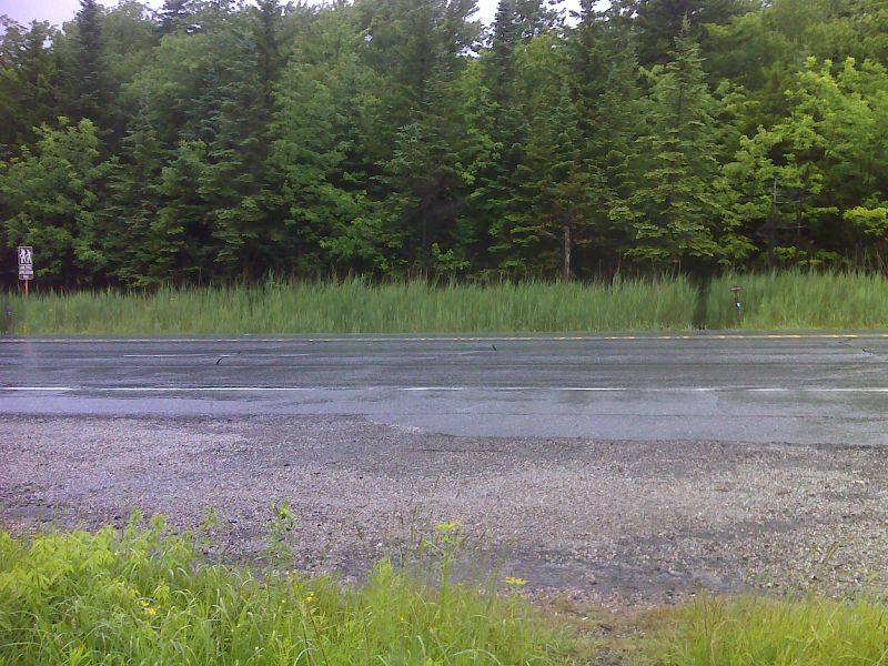
mm 0.0 Crossing of US 4. GPS N43.6667 W72.8500
Submitted by pjwetzel @ gmail.com
mm 0.0 Hiker parking lot near the crossing of US 4 a mile west of the Long Trail Inn.
Submitted by dlcul @ conncoll.edu
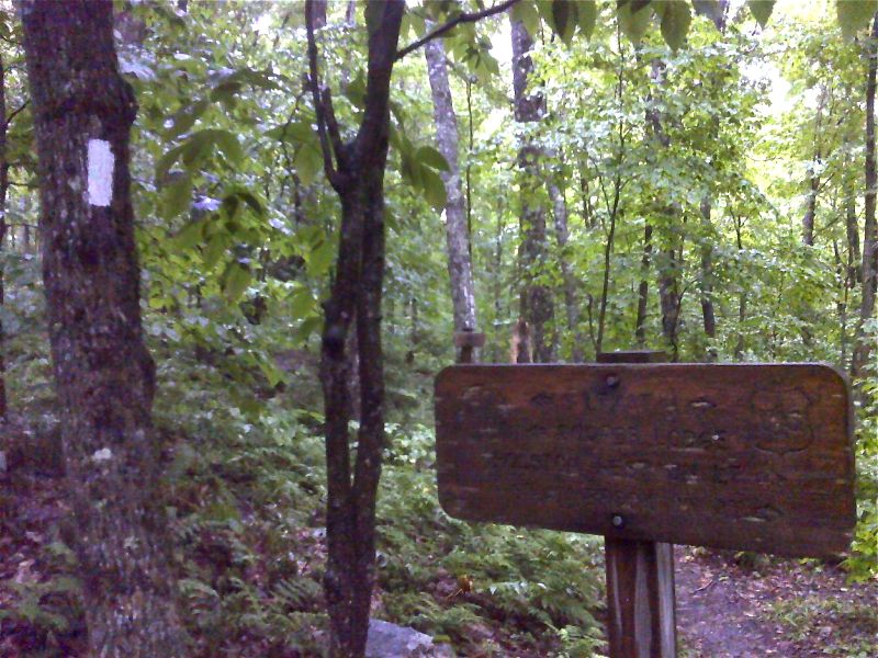
mm 1.9 Side trail to Churchill Scott Shelter. GPS N43.6462 W72.8528
Submitted by pjwetzel @ gmail.com
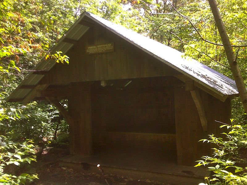
mm 1.9 Churchill Scott Shelter. GPS N43.6450 W72.8534
Submitted by pjwetzel @ gmail.com
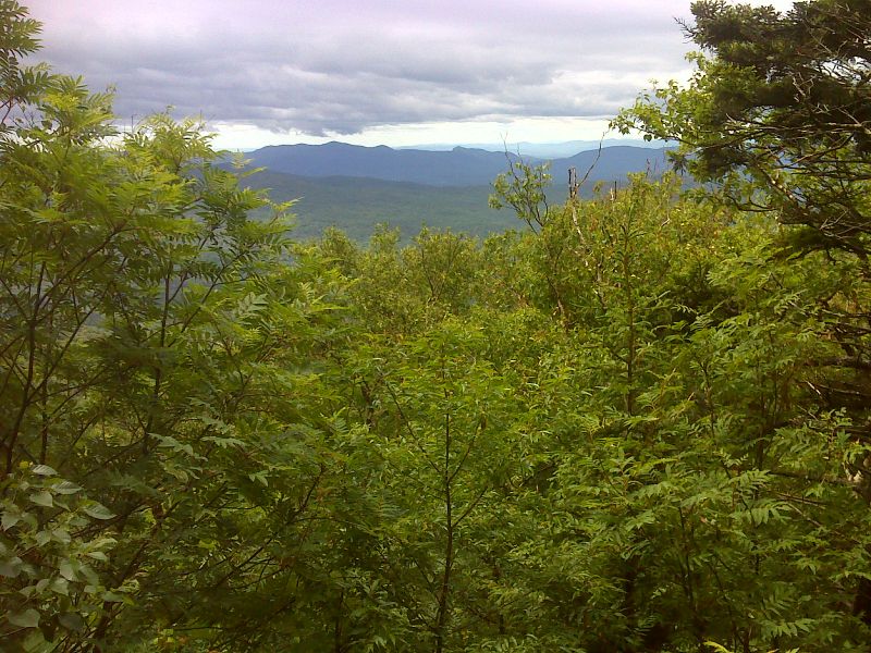
mm 2.2 Limited view from Mendon Lookout above Churchill Scott Shelter. GPS N43.6448 W72.8498
Submitted by pjwetzel @ gmail.com
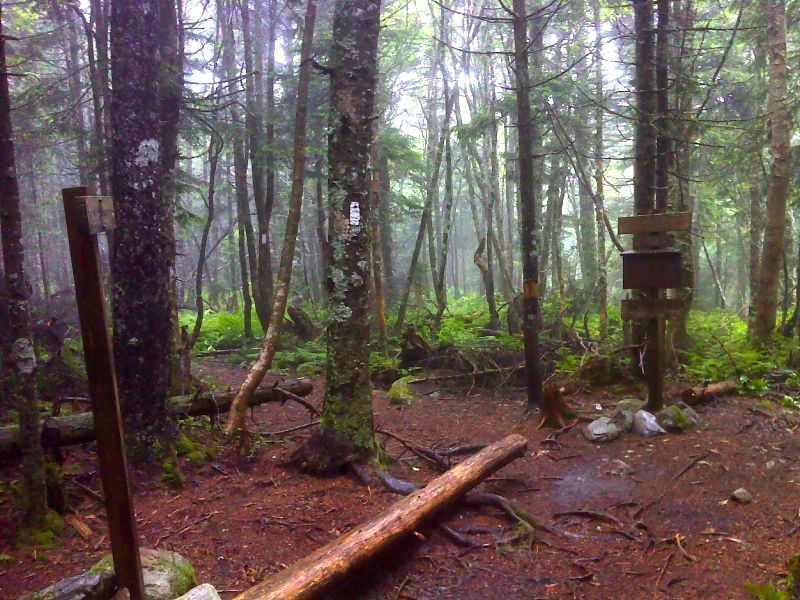
mm 3.8 Southern Junction of the AT and the blue-blazed Sherburne Pass Trail. This intersection is called Jungle Junction. The Sherburne Pass Trail, the old route of the AT, goes past Pico Camp and descends to US 4 at the Long Trail Inn. It reconnects with the current AT at mm 21.1 of VT Section 3. GPS N43.6336 W72.8301
Submitted by pjwetzel @ gmail.com
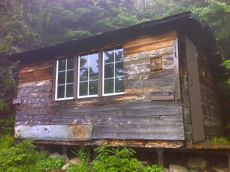
mm 3.8 Pico Camp, a shelter located on the Sherburne Pass Trail 0.5 miles from Jungle Junction and the AT. GPS N43.6391 W72.8305
Submitted by pjwetzel @ gmail.com
mm 3.8 Parking area for Sherburne Pass Trail. This parking lot is on the south side of US 4 across from the Long Trail Inn. From here the blue-blazed trail runs south to meet the AT at mm 3.8 in Section 4. It also goes north 0.5 miles to meet the AT at Mile 21.1 in Section 3.
Submitted by dlcul @ conncoll.edu