VT Section 4 Pictures - Milemarker 6.1 - 13.8
Bucklin Trail - Keiffer Road
Move your mouse across the pictures for more information.
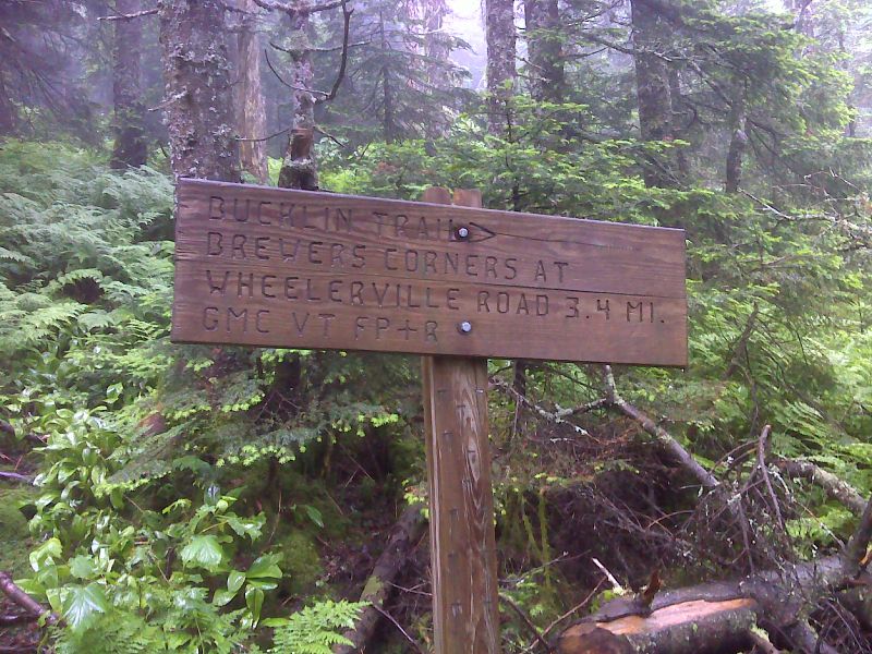
mm 6.1 Junction with the Bucklin Trail. GPS N43.6070 W72.8242
Submitted by pjwetzel @ gmail.com
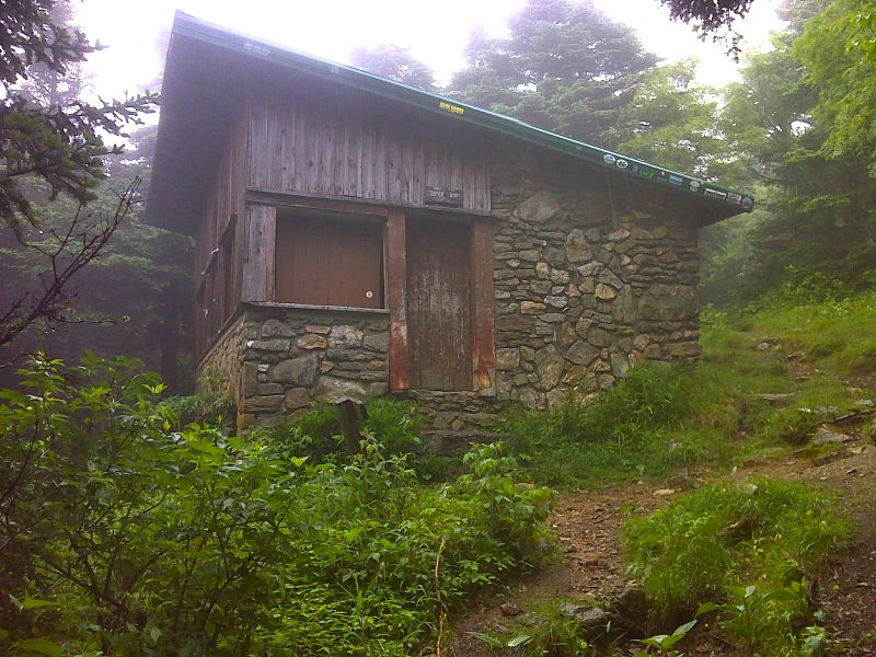
mm 6.3 Cooper Lodge. GPS N43.6060 W72.8225
Submitted by pjwetzel @ gmail.com
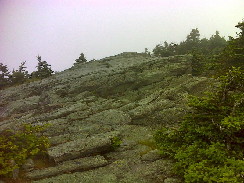
mm 6.3 Summit of Killington unfortunately fogged in. This is reached by the 0.2 miles long, very steep Killington Spur. This spur leaves the AT near Cooper Lodge. GPS N43.6047 W72.8203
Submitted by pjwetzel @ gmail.com
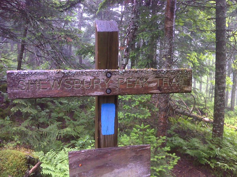
mm 7.9 Junction with the Shrewsbury Peak Trail. GPS N43.6047 W72.8203
Submitted by pjwetzel @ gmail.com
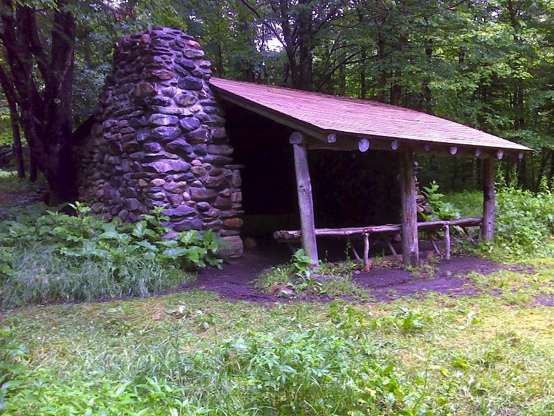
mm 10.6 Governor Clement Shelter, built in 1928. GPS N43.5647 W72.8484
Submitted by pjwetzel @ gmail.com
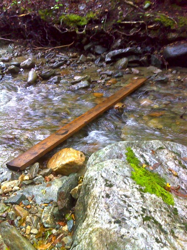
mm 10.7 Snazzy new footbridge across Robinson Brook near Governor Clement Shelter. GPS N43.5646 W72.8497
Submitted by pjwetzel @ gmail.com
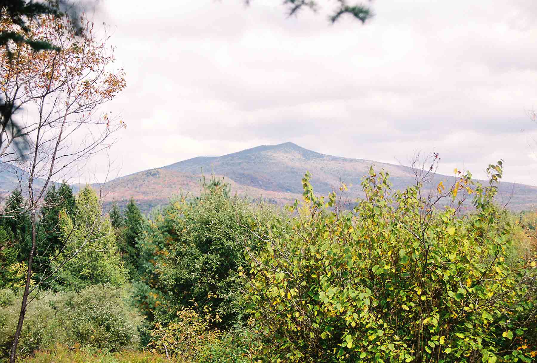
Killington Mt. from south of Upper Cold River Road. Taken at approx. Mile 12.7.
Submitted by dlcul @ conncoll.edu
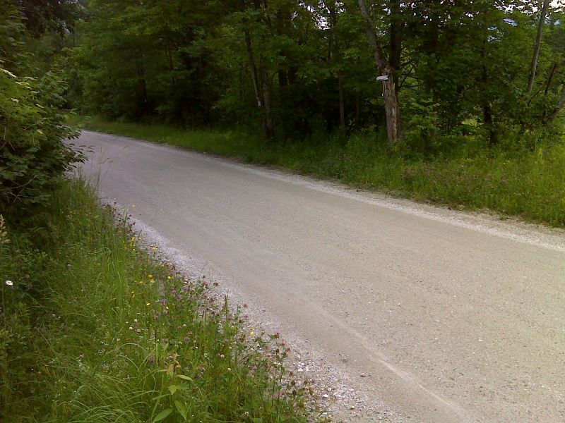
mm 13.8 AT crossing and short road walk on Keiffer Road. GPS N43.5342 W72.8737
Submitted by pjwetzel @ gmail.com