VT Section 4 Pictures - Milemarker 13.8 - 17.0
Keiffer Road - Clarendon Lookout
Move your mouse across the pictures for more information.
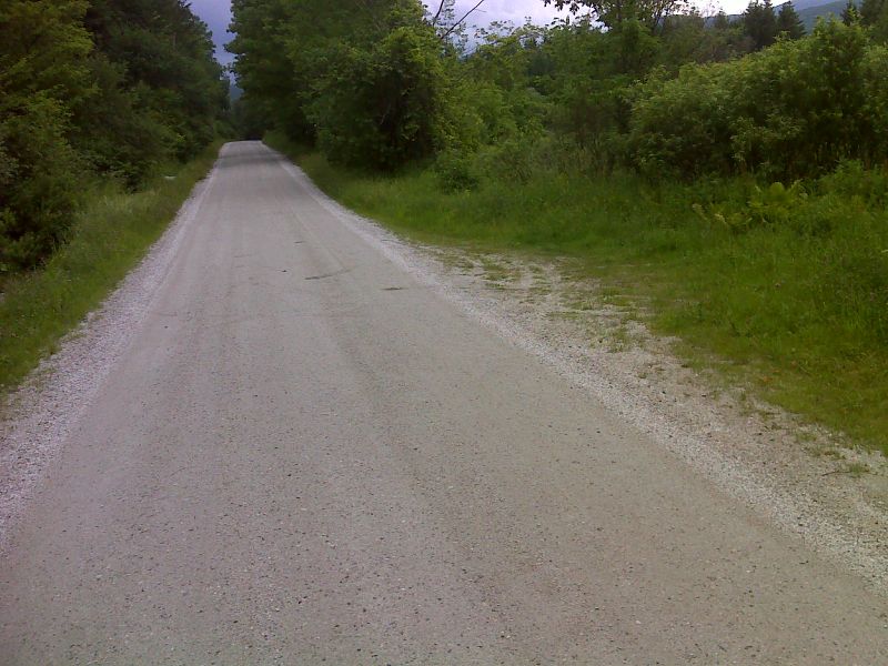
mm 13.8 Tiny parking pull-off on Keiffer Road. GPS N43.5338 W72.8735
Submitted by pjwetzel @ gmail.com
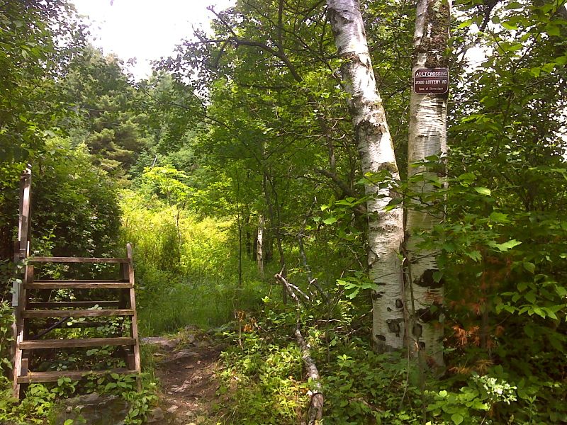
mm 15.5 Stile and sign at Lottery Road. GPS N43.5277 W72.9001
Submitted by pjwetzel @ gmail.com
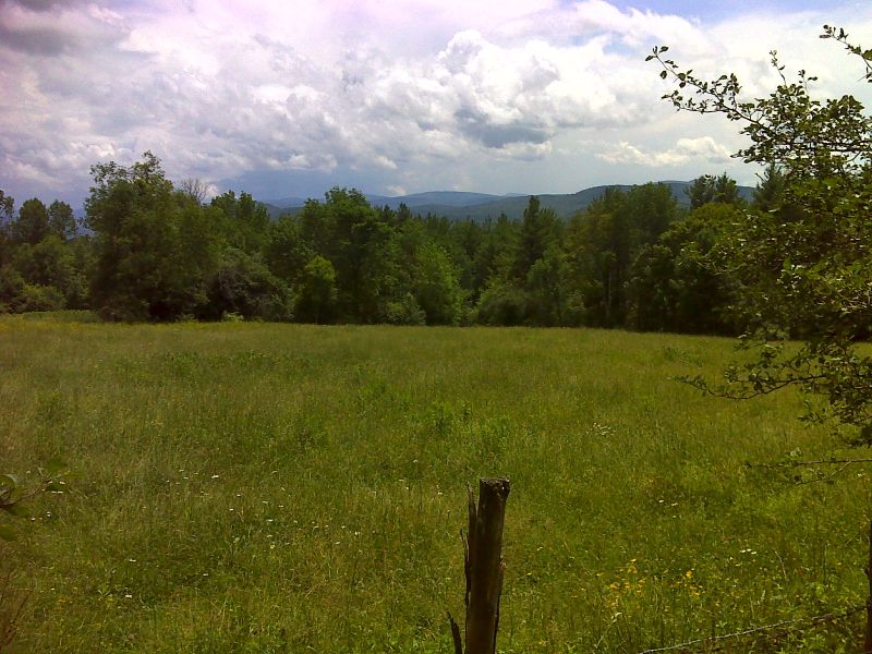
mm 15.5 High meadow beside Lottery Road. GPS N43.5277 W72.9002
Submitted by pjwetzel @ gmail.com
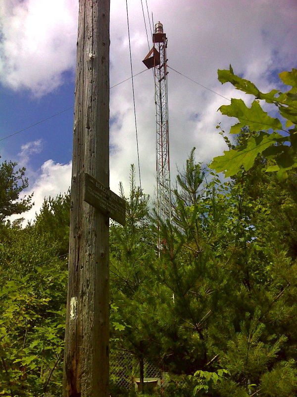
mm 15.9 Beacon Hill. GPS N43.5252 W72.9053
Submitted by pjwetzel @ gmail.com
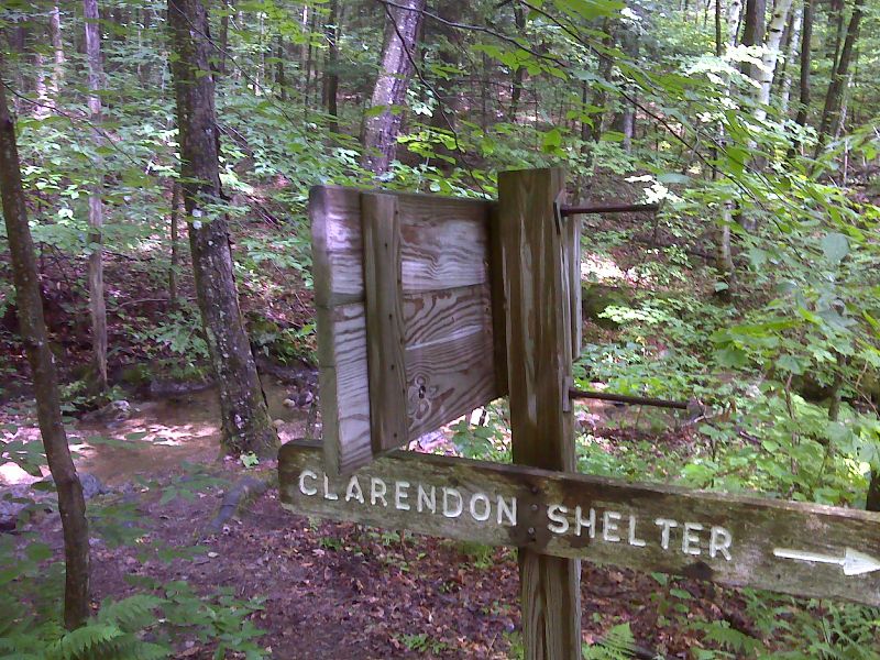
mm 16.4 Side trail to Clarendon Shelter. This follows an old town road, the Crown Point Military Road, first built during the French and Indian War. GPS N43.5243 W72.9131
Submitted by pjwetzel @ gmail.com
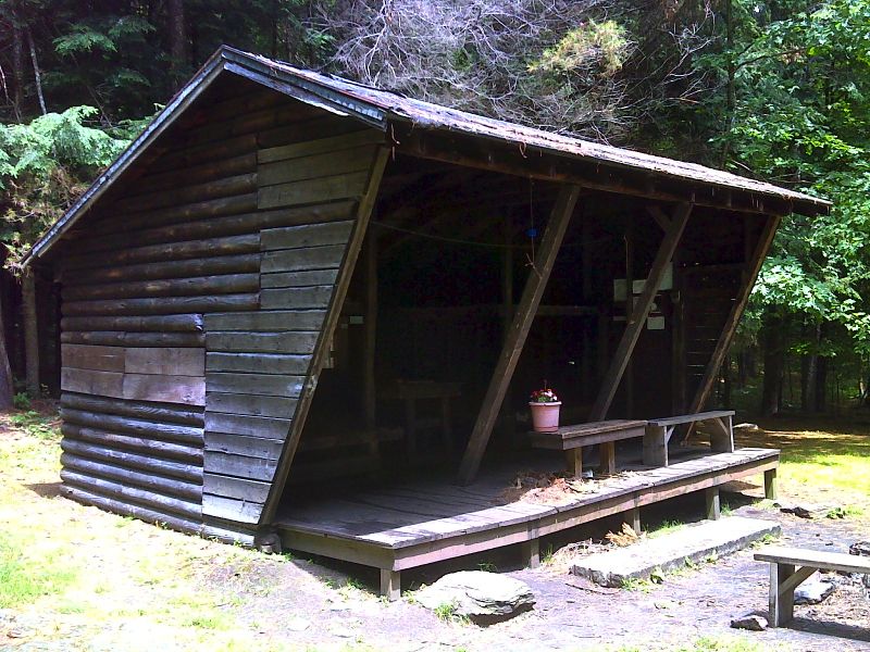
mm 16.4 Clarendon Shelter. GPS N5236 W 72.9127
Submitted by pjwetzel @ gmail.com
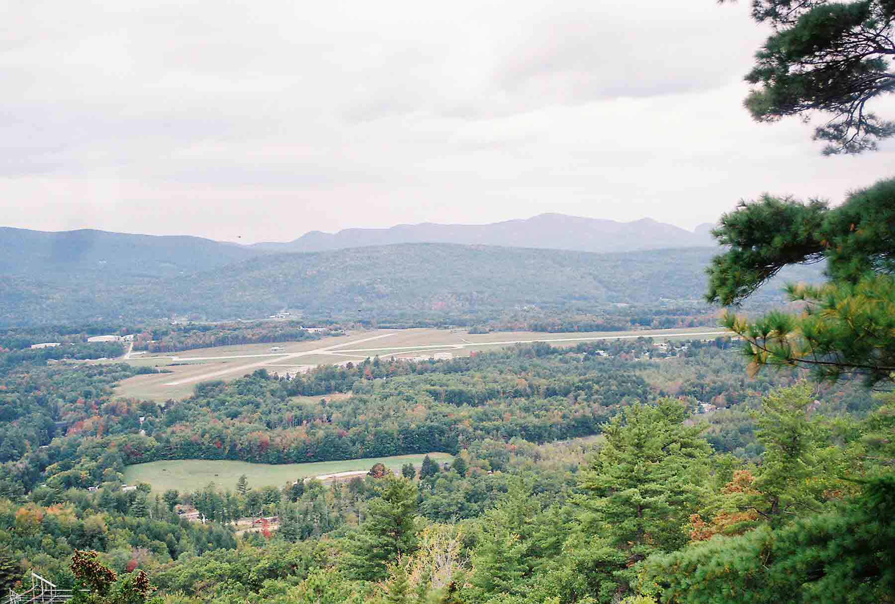
mm 17.0 - View from Clarendon Lookout north of Route 103. Airport is Rutland Airport.
Submitted by dlcul @ conncoll.edu
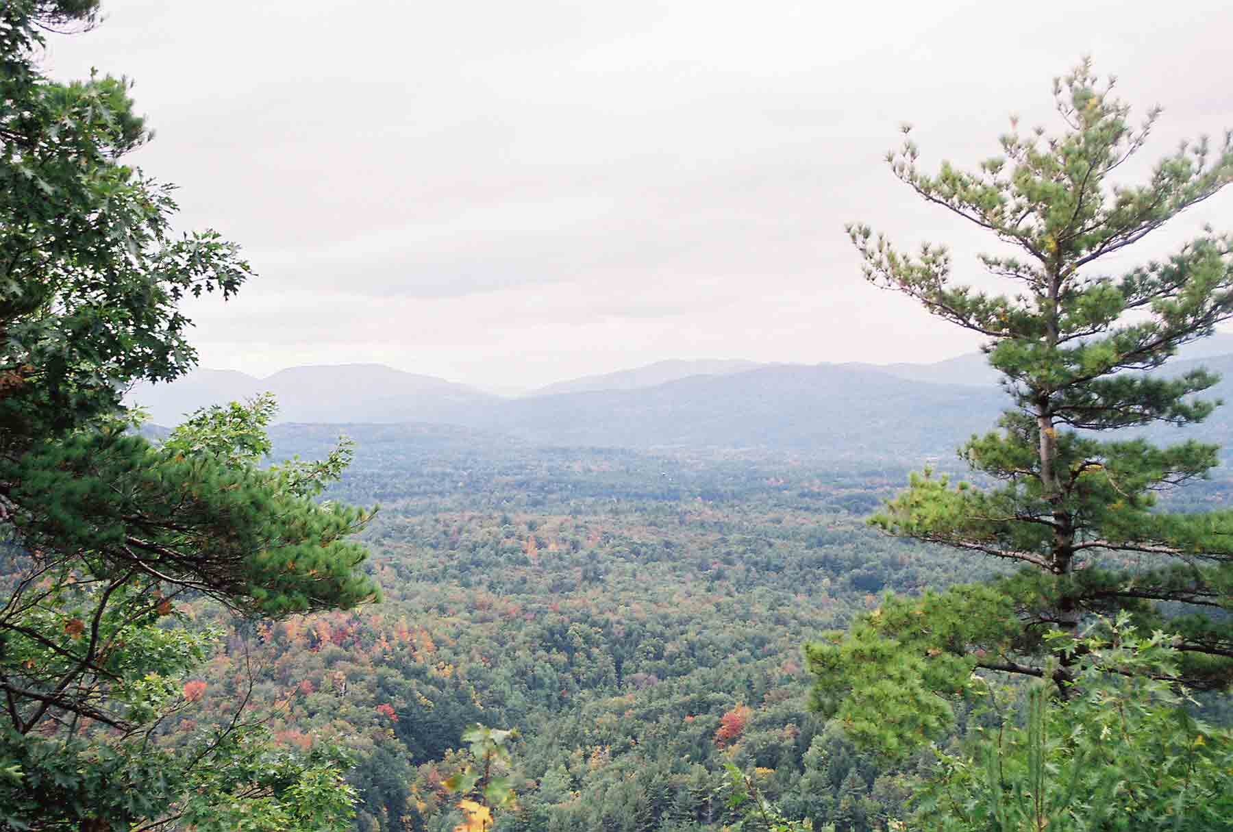
mm 17.0 - Another view from Clarendon Lookout.
Submitted by dlcul @ conncoll.edu
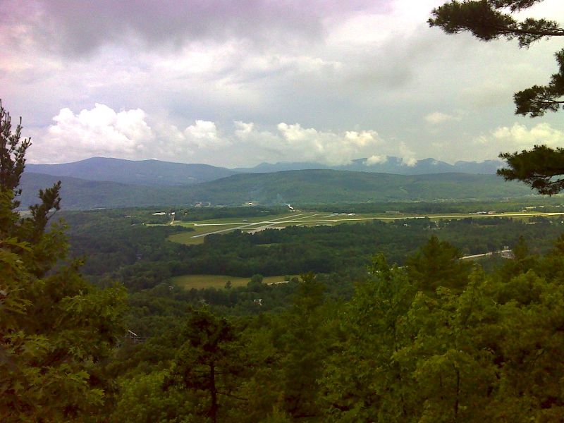
mm 17.0 View from Clarendon Lookout. GPS N43.5256 W72.9221
Submitted by pjwetzel @ gmail.com