VT Section 6 Pictures - Milemarker 0.0 - 5.0
USFS 10 - south of Bromley Mountain
Move your mouse across the pictures for more information.
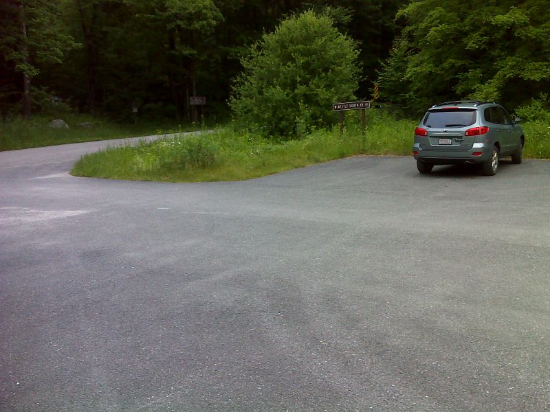
mm 0.0 Large parking lot on Danby-Langrove Road (USFS 10).
Submitted by pjwetzel @ gmail.com
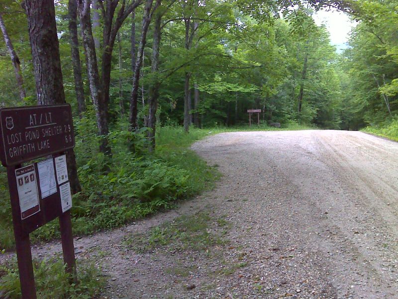
mm 0.2 The southbound trail follows Danby-Landgrove Road for 0.2 miles, then goes right (south) into woods. There is a small parking area at this point. GPS N43.3712 W72.9612
Submitted by pjwetzel @ gmail.com
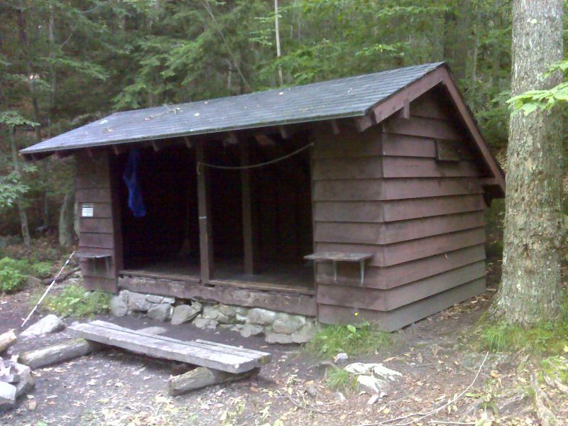
mm 1.3 Big Branch Shelter. GPS N43.3641 W72.9464
Submitted by pjwetzel @ gmail.com
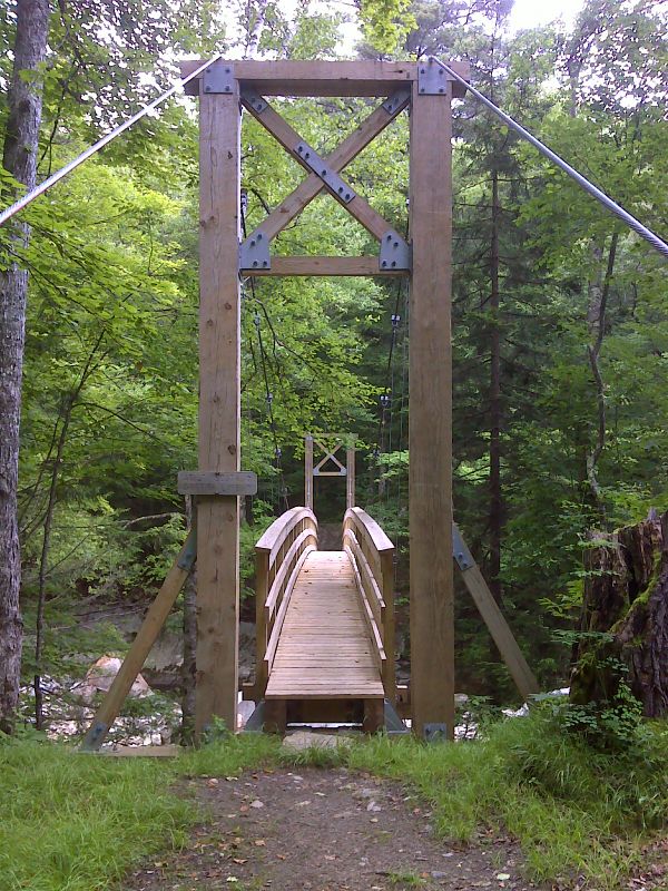
mm 1.5 New suspension bridge across Big Branch. Taken in June 2012. GPS N43.3632 W72.9445
Submitted by pjwetzel @ gmail.com
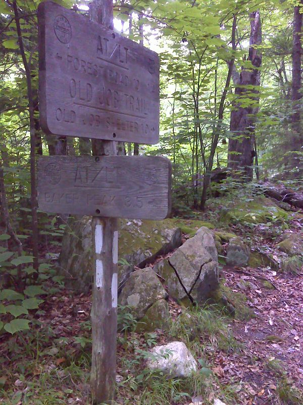
mm 1.5 North Junction with the Old Job Trail. This old route of the AT rejoins the current route at mm 7.0. GPS N43.3633 W72.9429
Submitted by pjwetzel @ gmail.com
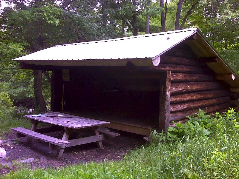
mm 1.5 Old Job Shelter. This is on the Old Job trail 0.9 miles from the AT. GPS N43.3542 W72.9285
Submitted by pjwetzel @ gmail.com
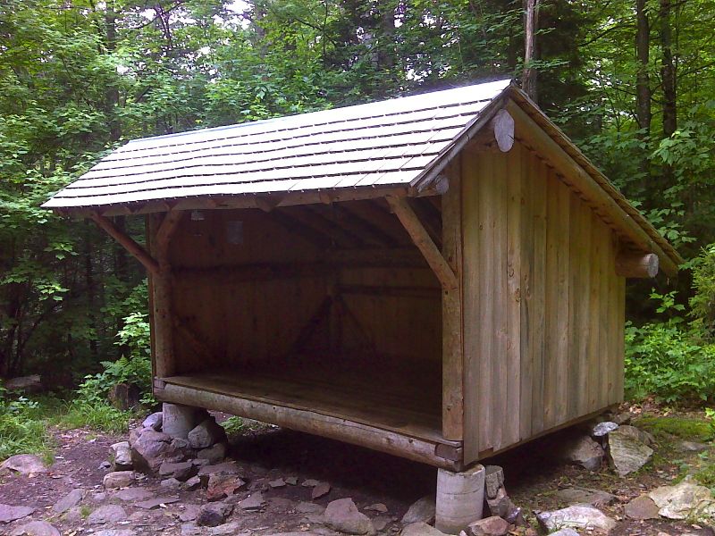
mm 3.0 Very new Lost Pond Shelter. Taken in June 2012. GPS N43.3476 W72.9530
Submitted by pjwetzel @ gmail.com
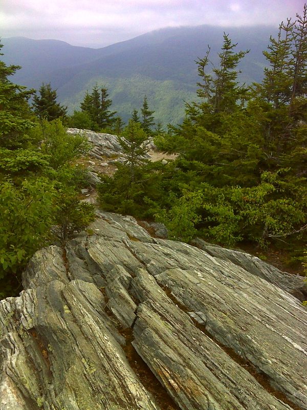
mm 5.0 Baker Peak. GPS N43.3245 W72.9638
Submitted by pjwetzel @ gmail.com