VT Section 6 Pictures - Milemarker 5.0 - 9.0
Baker Peak - Peru Peak
Move your mouse across the pictures for more information.
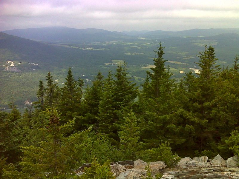
mm 5.0 View from Baker Peak. GPS N43.3244 W72.9638
Submitted by pjwetzel @ gmail.com
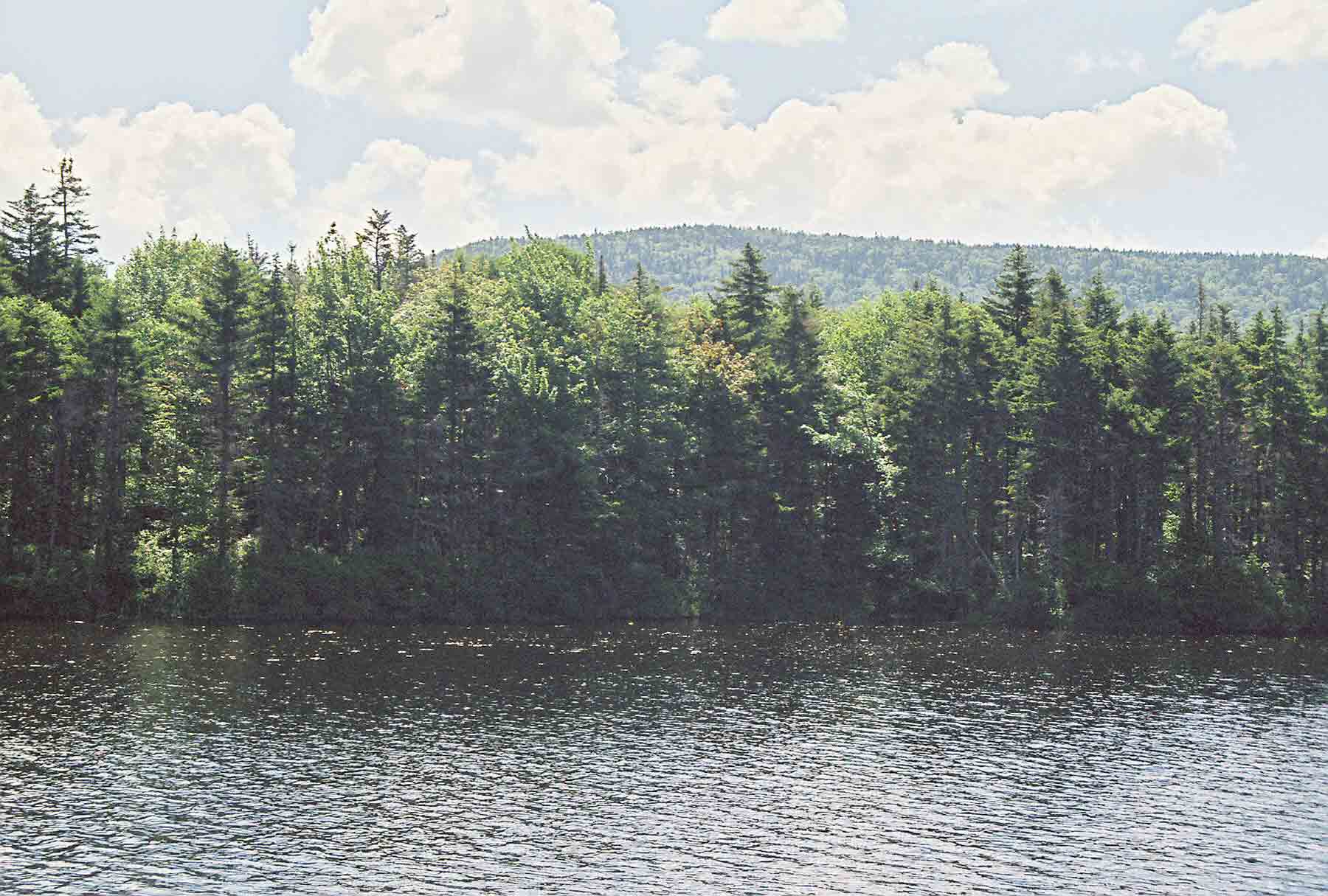
Griffith Lake from west side. The AT runs along the eastern shore. The peak in background is Peru Peak. The AT goes over this.
Submitted by dlcul @ conncoll.edu
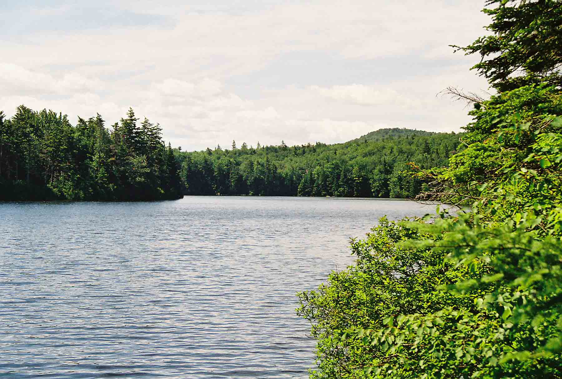
Griffith Lake looking south. This picture was taken just west of AT near Mile 7.0.
Submitted by dlcul @ conncoll.edu
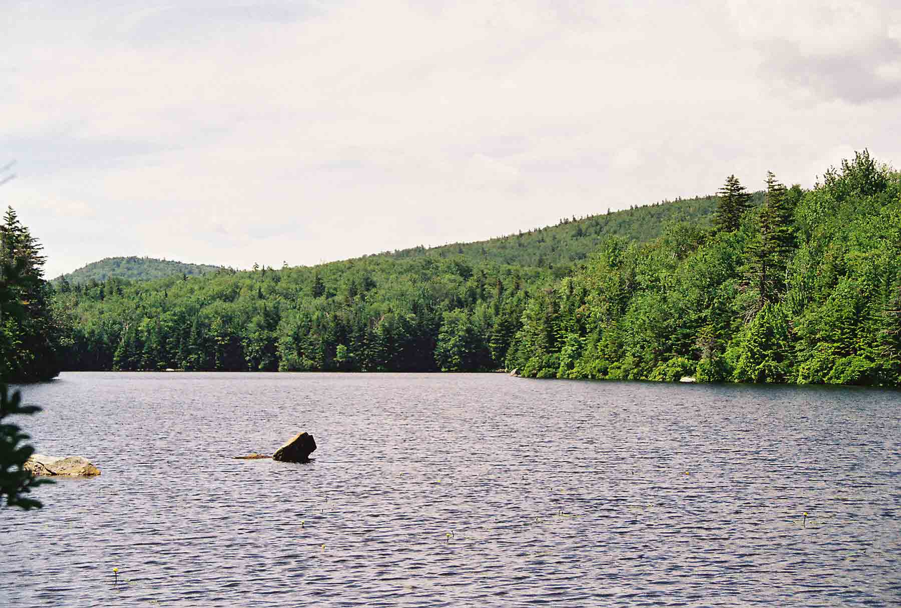
mm 7.0 - Griffith Lake as seen from the northeast corner of the lake.
Submitted by dlcul @ conncoll.edu
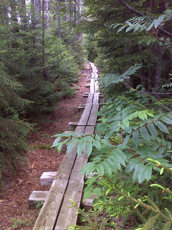
Long walk on puncheon on east side of Griffith Lake. Taken at approx m 7.1. GPS N43.3048 W72.9579
Submitted by pjwetzel @ gmail.com
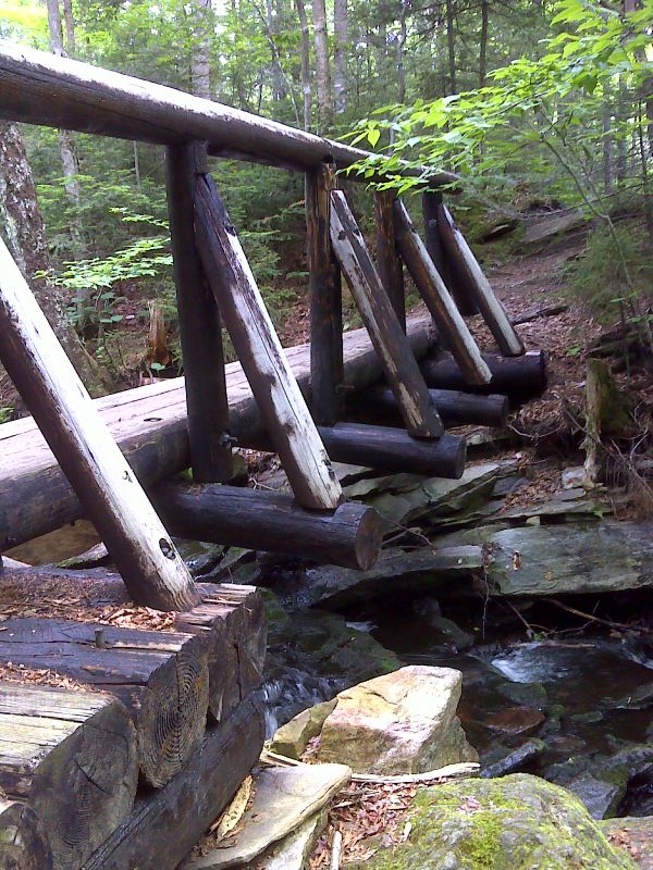
mm 7.7 Footbridge near Peru Peak Shelter. GPS N43.3012 W72.9526
Submitted by pjwetzel @ gmail.com

mm 7.7 Peru Peak Shelter. GPS N43.3005 W72.9495
Submitted by pjwetzel @ gmail.com
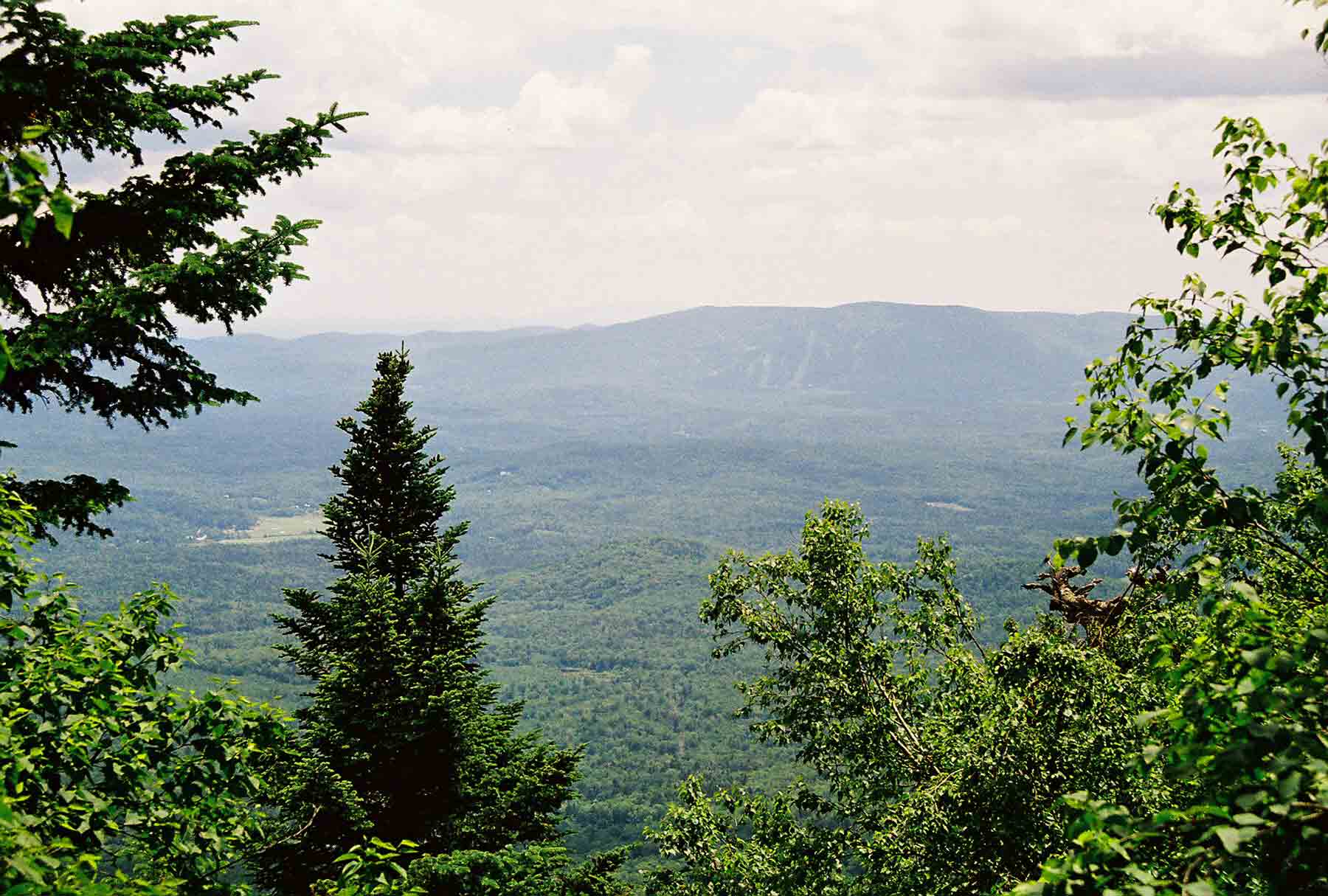
mm 9.0 - View north from the summit of Peru Peak.
Submitted by dlcul @ conncoll.edu