VT Section 6 Pictures - Milemarker 10.7 - 14.8
Styles Peak - Bromley Mountain
Move your mouse across the pictures for more information.
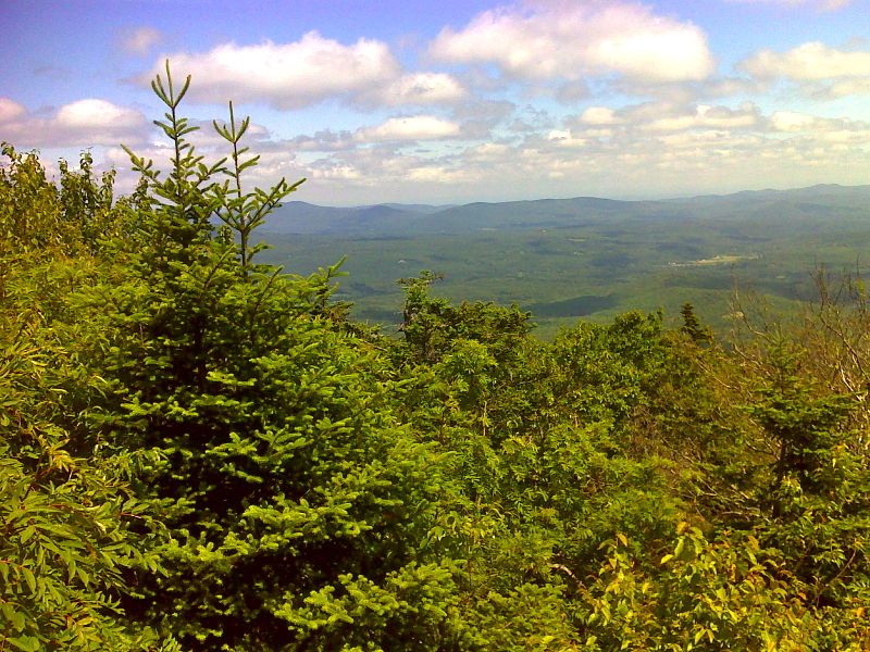
mm 10.7 View from summit of Styles Peak. GPS N43.2736 W&2.9380
Submitted by pjwetzel @ gmail.com
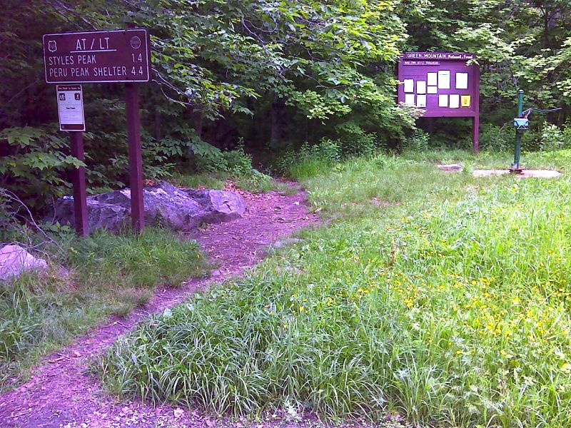
mm 12.3 Signs and water pump as the northbound trail leaves Mad Tom Notch. GPS N43.2577 W72.9383
Submitted by pjwetzel @ gmail.com
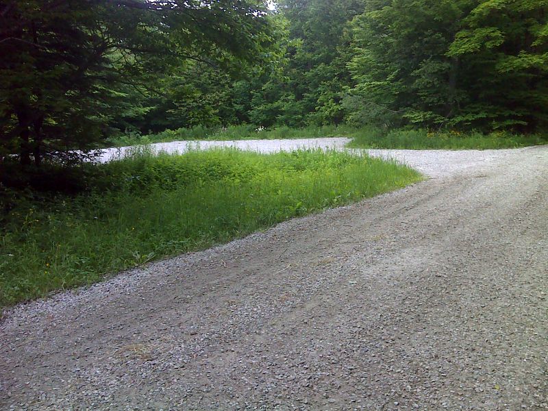
mm 12.3 Parking in Mad Tom Notch. GPS N43.2577 W72.9385
Submitted by pjwetzel @ gmail.com

Grumpy the Dwarf from Snow White. GPS N43.2502 W72.9366
Submitted by pjwetzel @ gmail.com
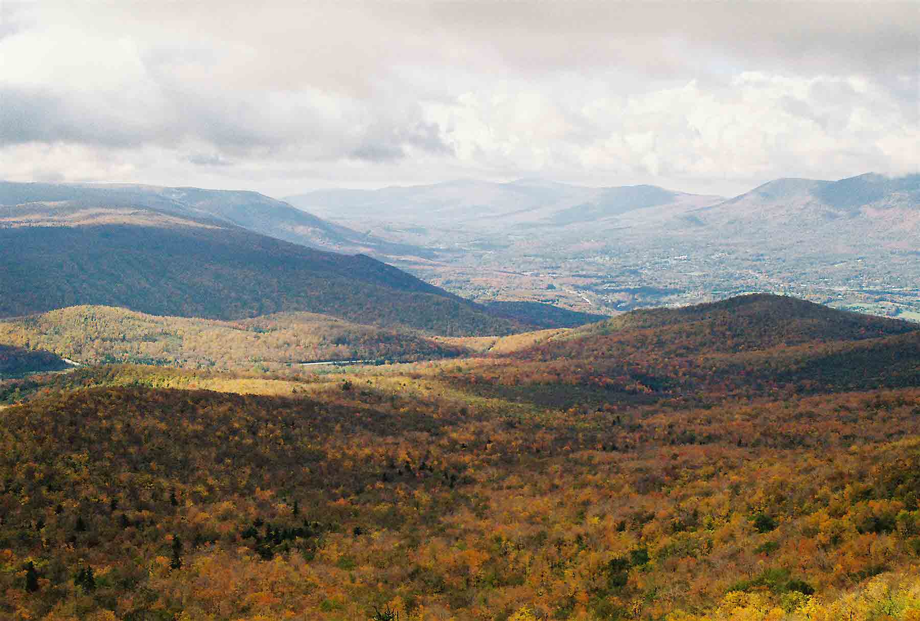
mm 14.8 - Fall view from summit of Bromley Mountain. This view looks south over Manchester and the Valley of Vermont.
Submitted by dlcul @ conncoll.edu
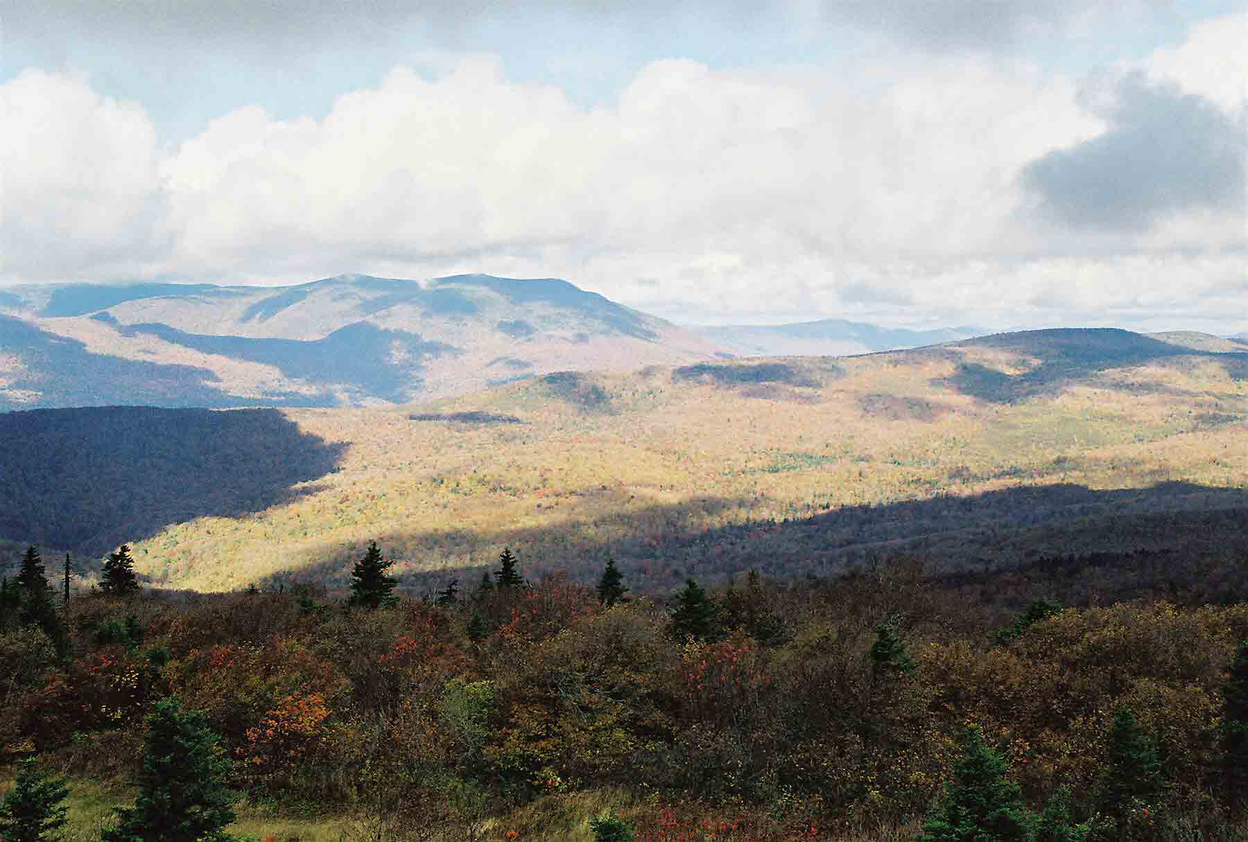
mm 14.8 - Fall view from summit of Bromley Mountain. This view looks north.
Submitted by dlcul @ conncoll.edu
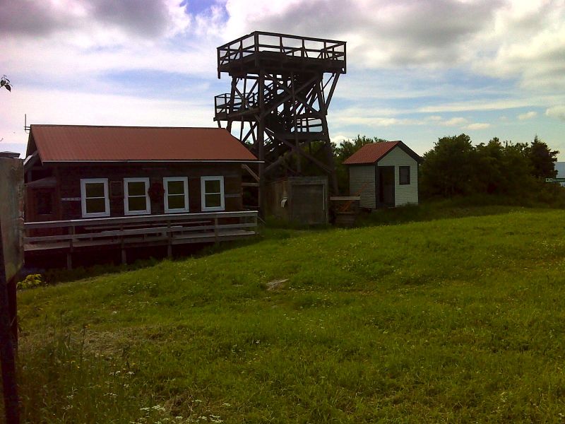
mm 14.8 Summit buildings on Bromley Mountain. The observation tower is currently closed (June 2012). GPS N43.2275 W72.9396
Submitted by pjwetzel @ gmail.com
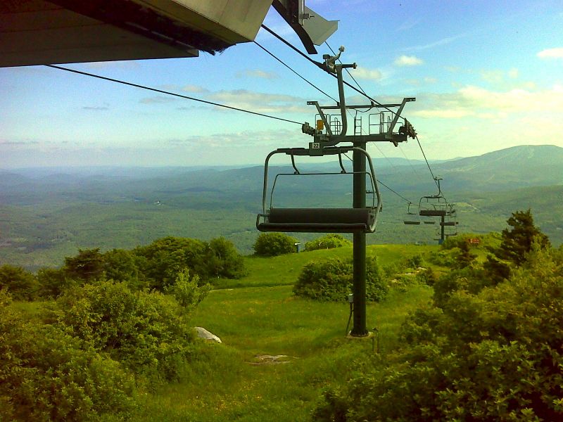
mm 14.8 Looking southeast from summit of Bromley Mountain. GPS N43.2274 W72.9395
Submitted by pjwetzel @ gmail.com