VT Section 6 Pictures - Milemarker 14.8 - 17.8
Bromley Mountain - VT 11/30
Move your mouse across the pictures for more information.
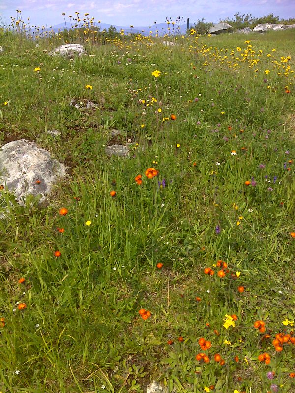
mm 14.8 Wildflowers on Bromley summit. GPS N43.2277 W72.9398
Submitted by pjwetzel @ gmail.com
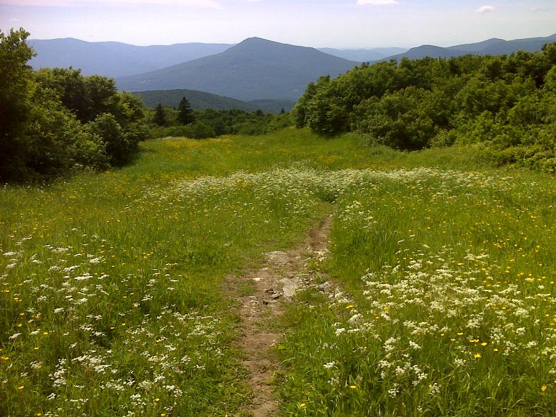
mm 14.8 AT southbound descends from summit of Bromley Mt. via ski trail. GPS N43.2279 W72.9401
Submitted by pjwetzel @ gmail.com
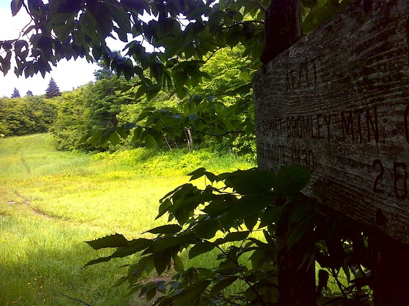
mm 15.0 AT northbound leaves woods and climbs to Bromley summit via ski trail. GPS N43.2278 W72.9443
Submitted by pjwetzel @ gmail.com
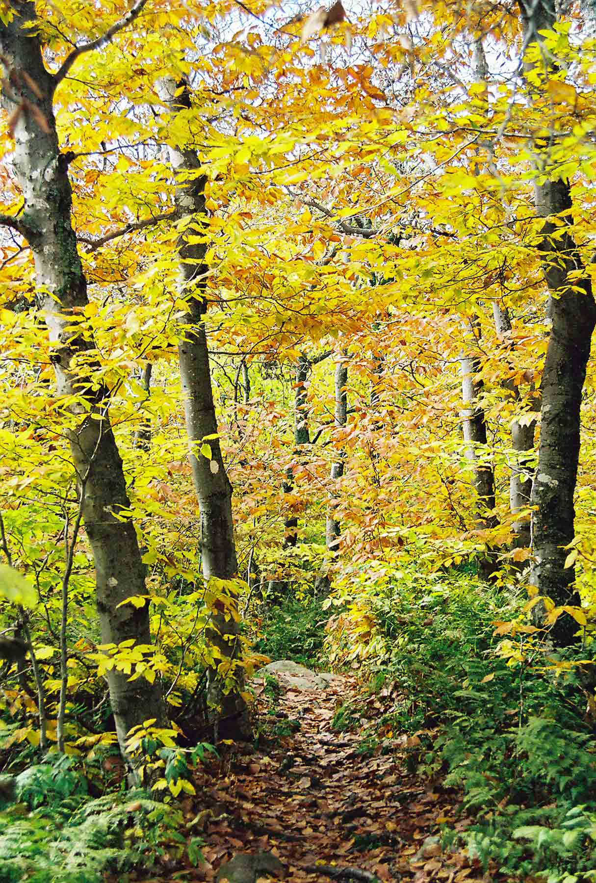
AT south of Bromley Mountain. This was taken Columbus Day Weekend. Taken at approx. Mile 15.2.
Submitted by dlcul @ conncoll.edu
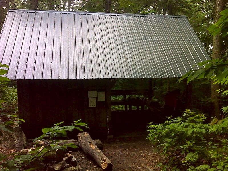
mm 15.8 Bromley Shelter. GPS N43.2244 W72.9505
Submitted by pjwetzel @ gmail.com
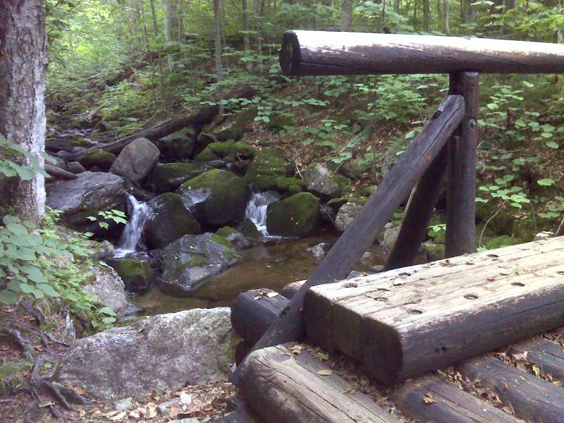
mm 17.1 Bromley Brook Bridge. GPS N43.2144 W72.9664
Submitted by pjwetzel @ gmail.com
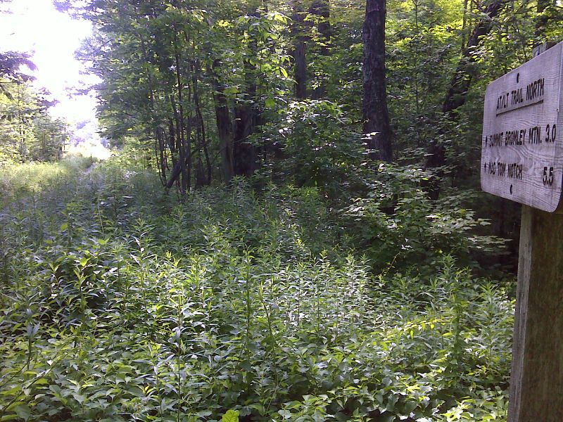
mm 17.8 Northbound AT leaves snowmobile trail near VT11/30. GPS N43.2074 W72.9688
Submitted by pjwetzel @ gmail.com