VT Section 7 Pictures - Milemarker 0.0 - 2.8
VT 11/30 - Spruce Peak Shelter
Move your mouse across the pictures for more information.
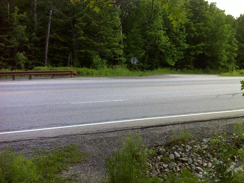
mm 0.0 Crossing of VT 11/30. The northbound trail goes down the driveway on the right. This leads to the parking area. GPS N43.2068 W72.9709
Submitted by pjwetzel @ gmail.com
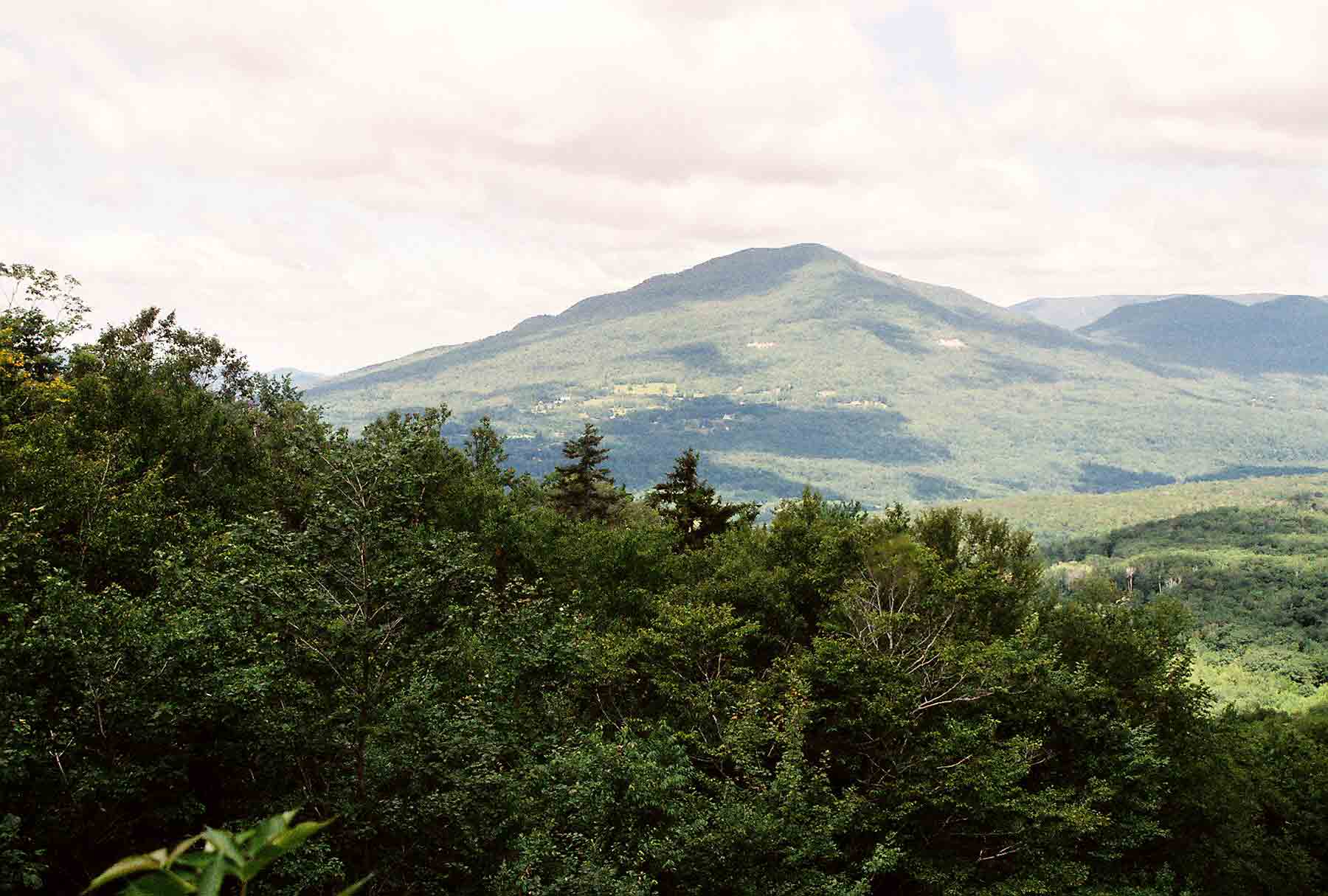
View of Bromley Mountain from south
Submitted by dlcul @ conncoll.edu
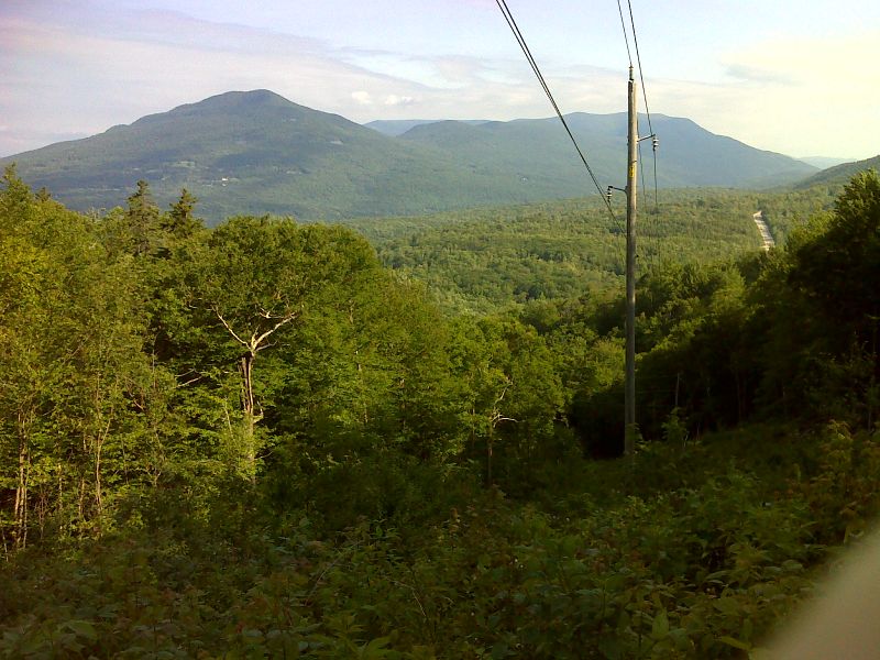
View from power line clearing about 1.5 miles south of VT 11/30. GPS N43.1897 W72.9892
Submitted by pjwetzel @ gmail.com
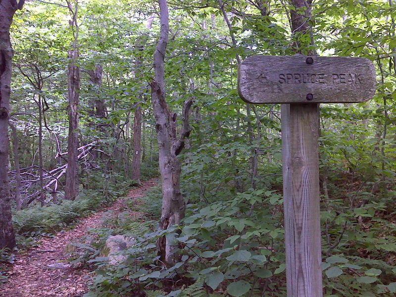
mm 2.4 Spruce Peak Trail. This leads about 100 yards to a view. GPS N43.1854 W72.9931
Submitted by pjwetzel @ gmail.com
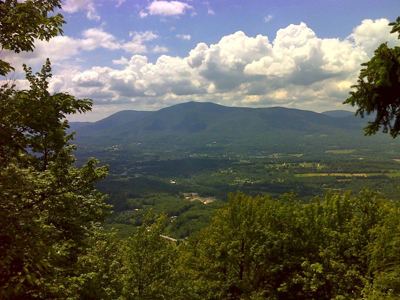
mm 2.4 View from Spruce Peak. The rocky side trail goes over the summit and a bit beyond to the viewpoint. GPS N43.1858 W72.9935
Submitted by pjwetzel @ gmail.com
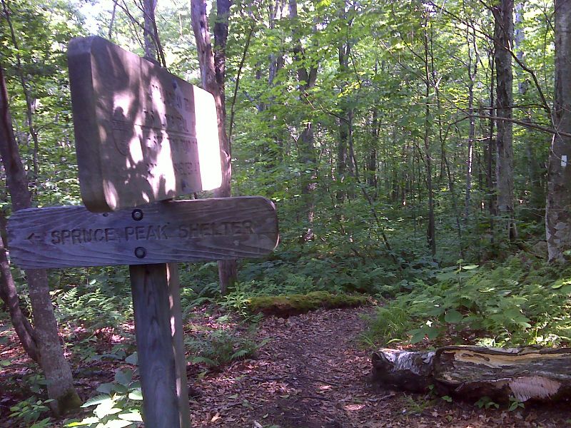
mm 2.8 Side trail to Spruce Peak Shelter. GPS N43.1796 W72.9940
Submitted by pjwetzel @ gmail.com
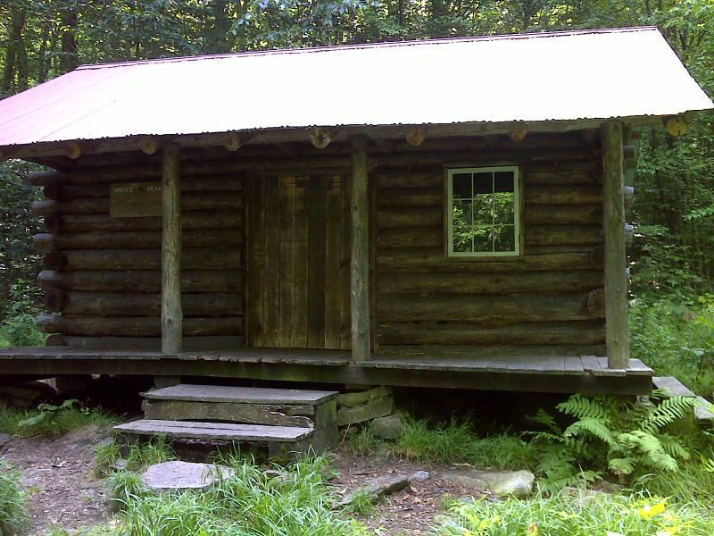
mm 2.8 Spruce Peak Shelter. GPS N43.176 W72.9952
Submitted by pjwetzel @ gmail.com
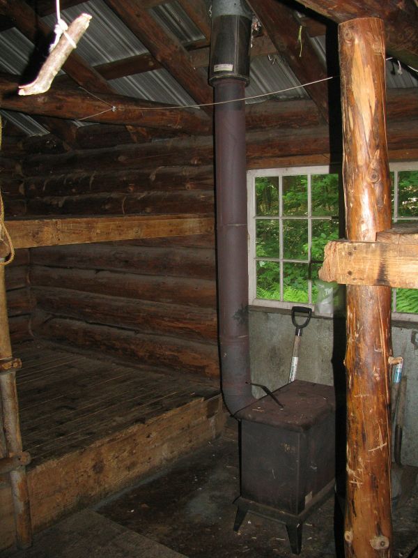
mm 2.8 Inside Spruce Peak Shelter. GPS N43.1786 W72.9952
Submitted by pjwetzel @ gmail.com