VT Section 7 Pictures - Milemarker 4.9 - 10.5
North Junction Old Rootville Road - Stratton Pond
Move your mouse across the pictures for more information.
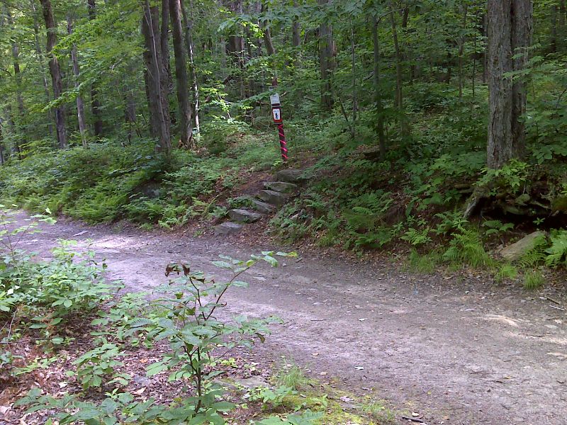
mm 4.9 The trail follows Old Rootville Road for almost a mile. Here the northbound trail goes right, leaves the road and heads north on a footpath. The spur trail to Prospect Rock goes left at this point. Old Rootville Road continues down the mountain to a paved road and parking in 1.8 miles. GPS N43.1539 W73.0087
Submitted by pjwetzel @ gmail.com
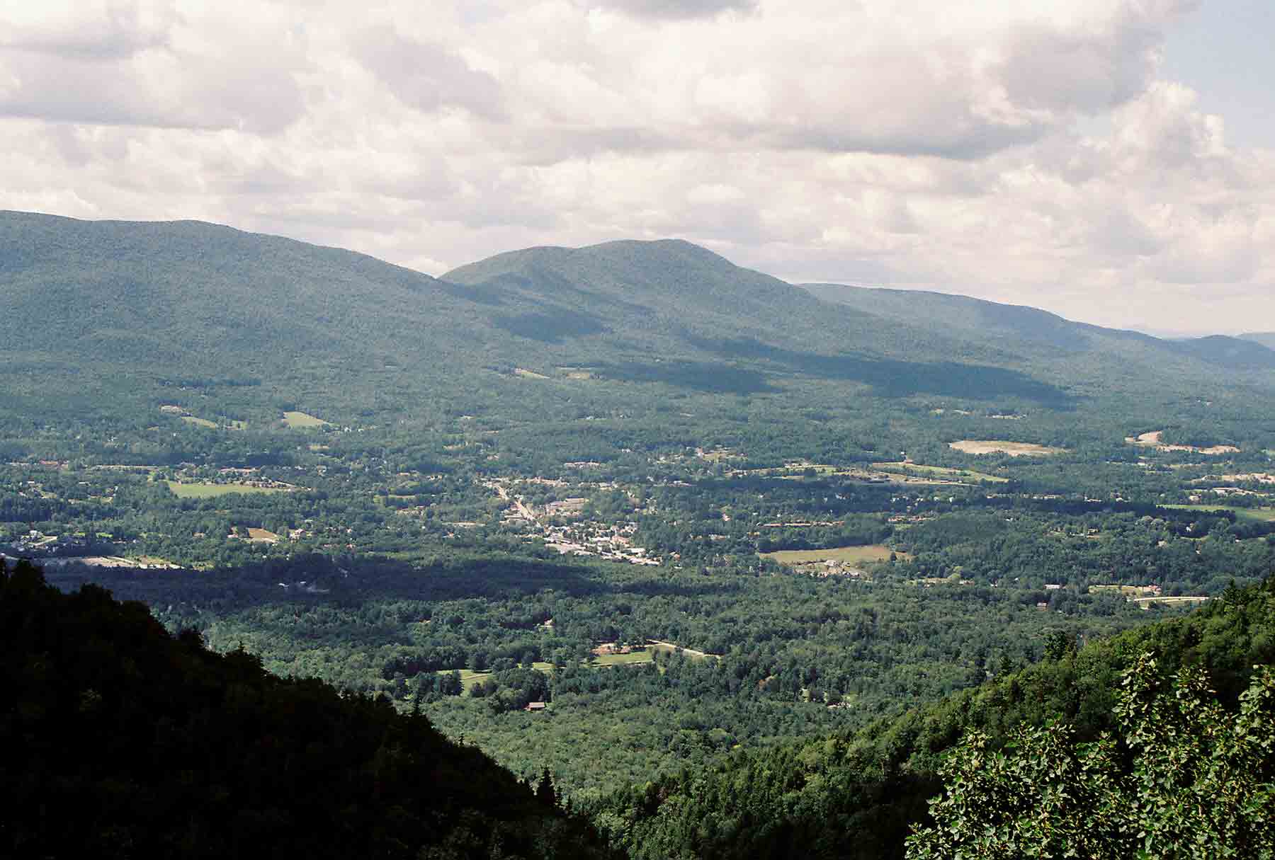
mm 4.9 - View of Manchester and the valley of Vermont from Prospect Rock
Submitted by dlcul @ conncoll.edu

mm 4.9 - View of Mt. Eqionox from Prospect Rock
Submitted by dlcul @ conncoll.edu
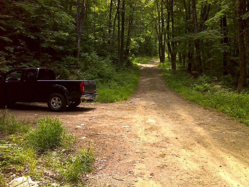
The presence of a truck in this picture indicates that Old Rootville Road can be used by at least high clearance vehicles from the valley floor to this point. Whether such use is legal is not known. Just beyond there is a gate barring further vehicle access. GPS N43.1523 W73.0059
Submitted by pjwetzel @ gmail.com
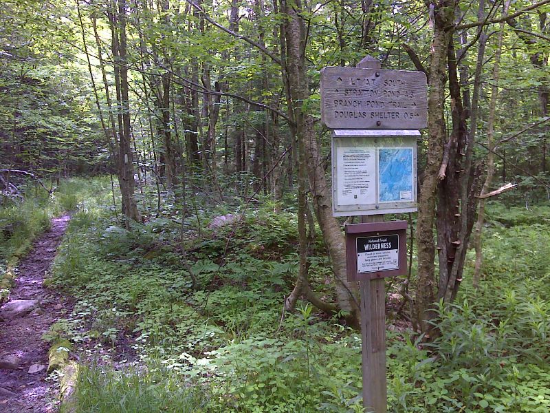
mm 5.8 Junction with the Branch Pond Trail. The William B. Douglas Shelter is 0.5 miles down this trail. GPS N43.1504 W72.9917
Submitted by pjwetzel @ gmail.com
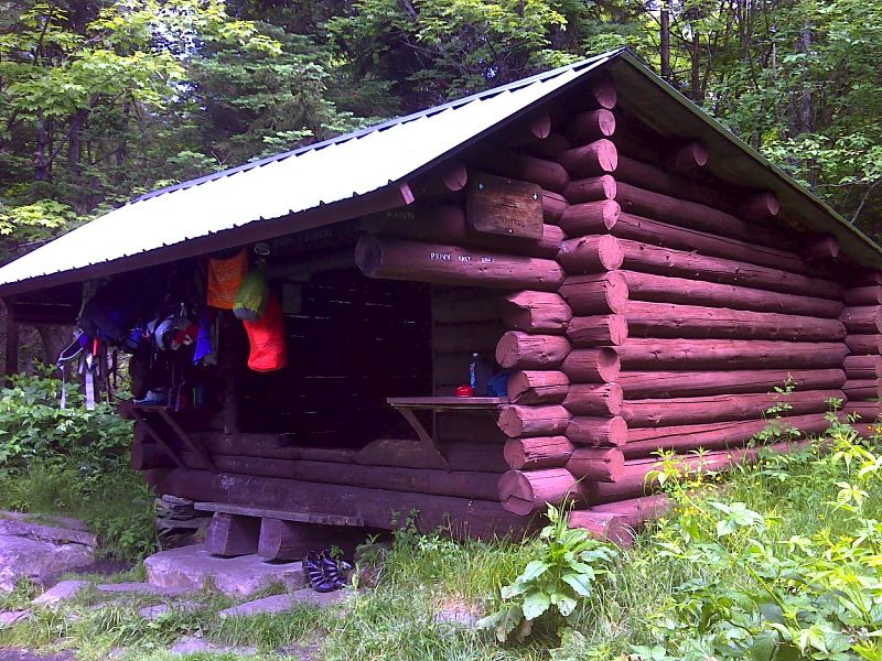
mm 5.8 William B. Douglas Shelter. GPS N43.1446 W72.9909
Submitted by pjwetzel @ gmail.com
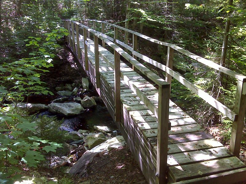
mm 8.6 Bridge across Winhall River. GPS N43.1235 W72.9768
Submitted by pjwetzel @ gmail.com
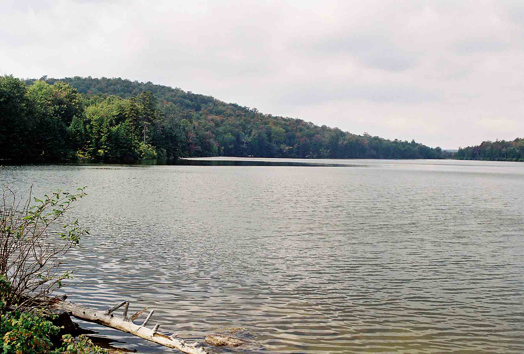
mm 10.5 - View west across Stratton Pond
Submitted by dlcul @ conncoll.edu