VT Section 7 Pictures - Milemarker 10.5 - 11.7
Stratton Pond - North Junction USFS 341
Move your mouse across the pictures for more information.
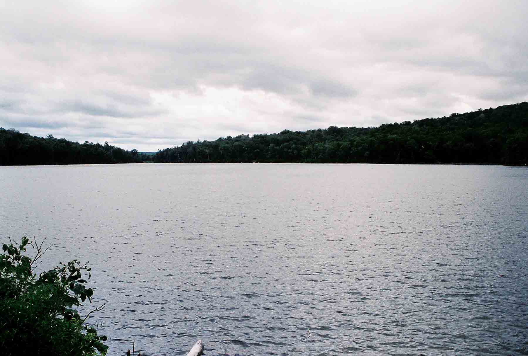
mm 10.5 - View west across Stratton Pond
Submitted by dlcul @ conncoll.edu
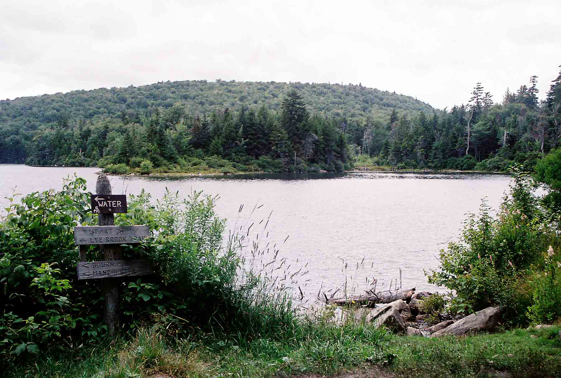
mm 10.5 - View to north shore of Stratton Pond
Submitted by dlcul @ conncoll.edu
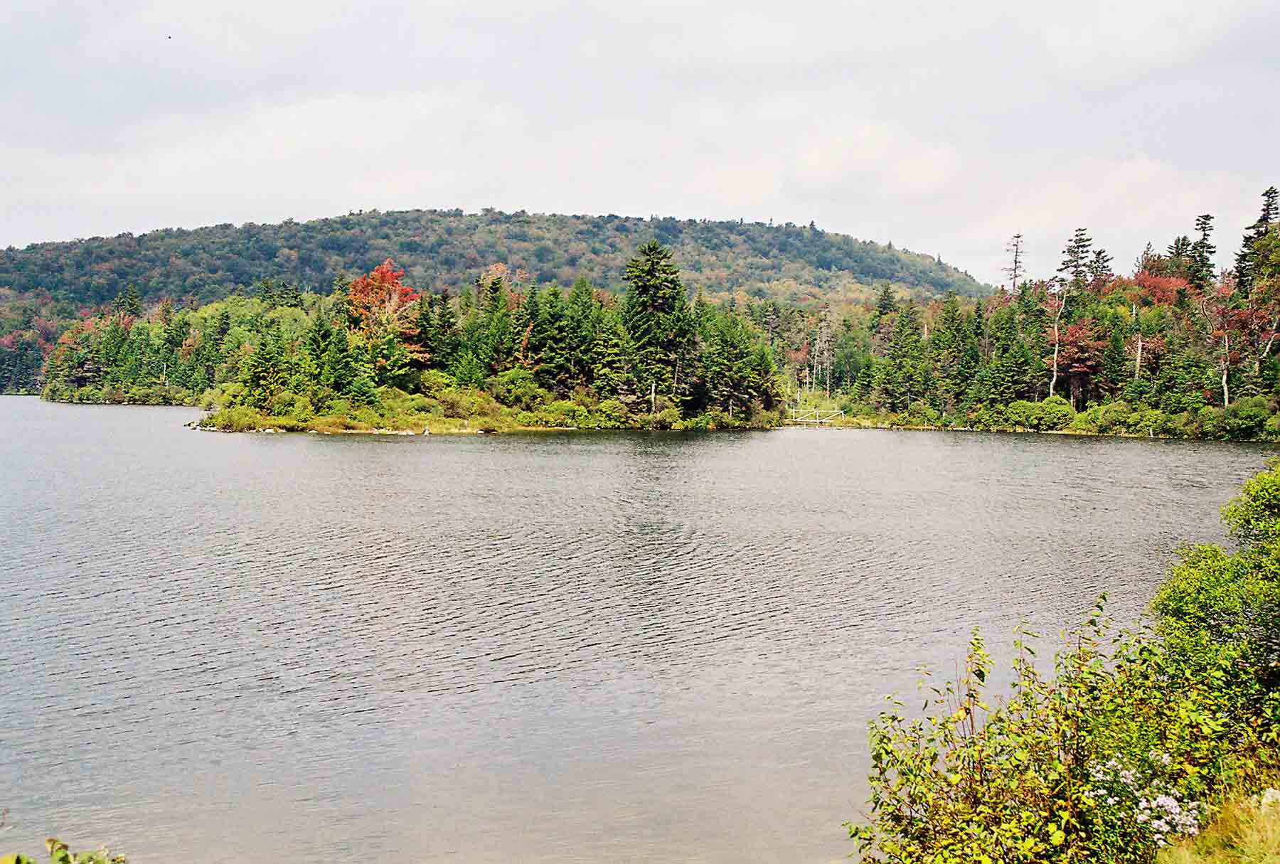
mm 10.5 - View north across Stratton Pond. Taken in early fall
Submitted by dlcul @ conncoll.edu
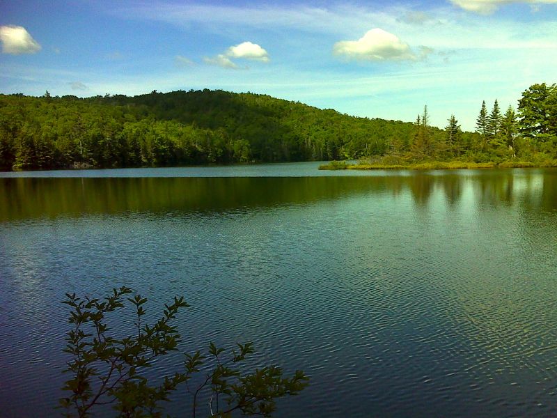
mm 10.5 Stratton Pond. GPS N43.1043 W72.9644
Submitted by pjwetzel @ gmail.com
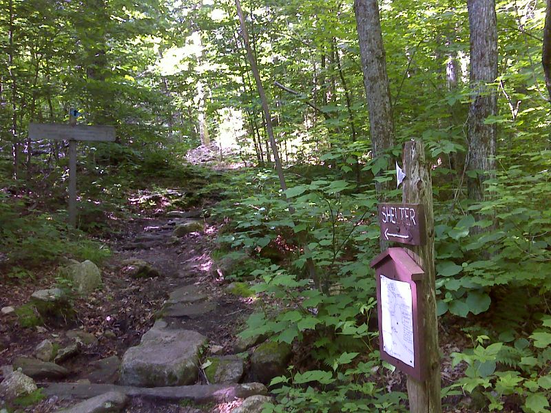
mm 10.6 Junction with Stratton Pond Trail. Stratton Pond Shelter is 0.2 miles down this trail which then continues another 3.5 miles over mostly flat terrain to Kelly Stand Road. GPS N43.1020 W72.9638
Submitted by pjwetzel @ gmail.com
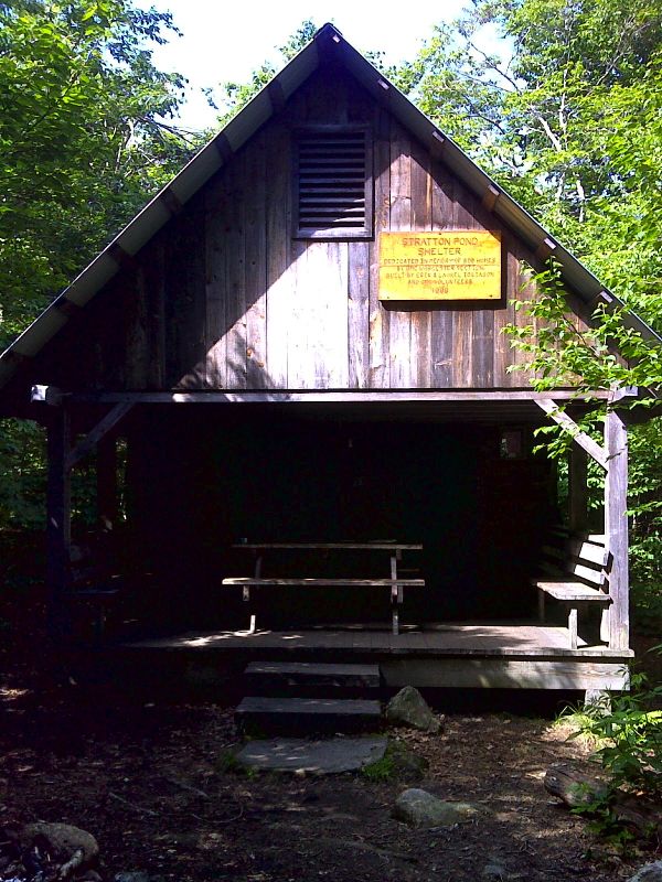
mm 10.6 Stratton Pond Shelter. GPS N43.1006 W72.9641
Submitted by pjwetzel @ gmail.com

View from trailhead for Stratton Pond Trail. This blue-blazed trail, which once was the route of the AT/LT, provides access to Stratton Pond without going over Stratton Mt. The junction of the Stratton Pond Trail and the AT is at Mile 10.6. Picture was taken in early fall.
Submitted by dlcul @ conncoll.edu
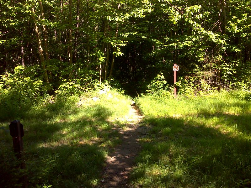
mm 11.7 Northern crossing of International Paper Company Road (USFS 341). GPS N43.0997 W72.9463
Submitted by pjwetzel @ gmail.com