VT Section 7 Pictures - Milemarker 13.7 - 17.5
Stratton Mt. - Kelly Stand Road
Move your mouse across the pictures for more information.
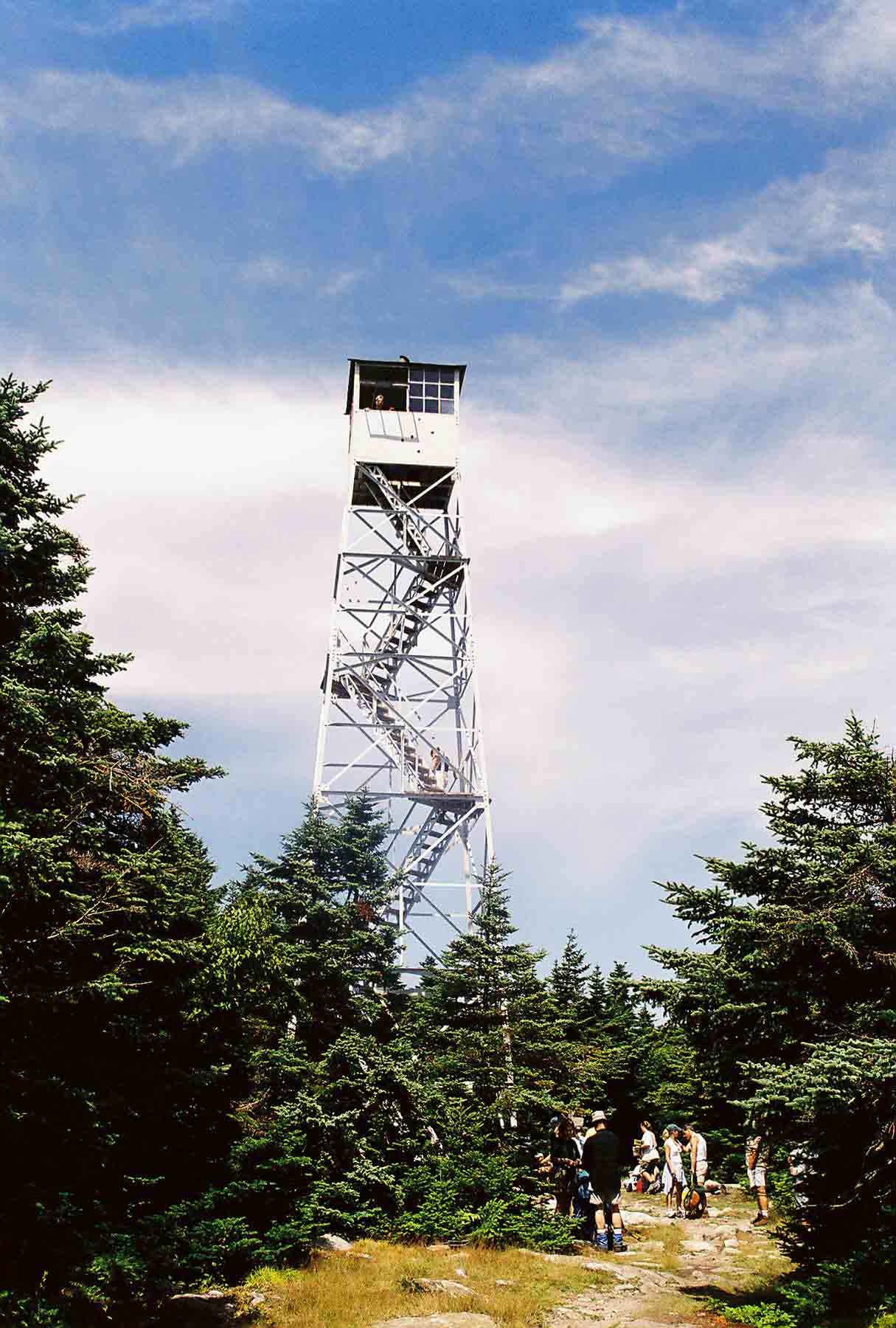
mm 13.7 - Firetower on summit of south peak of Stratton Mt. This firetower may be climbed. There are spectacular views available from the tower.
Submitted by dlcul @ conncoll.edu
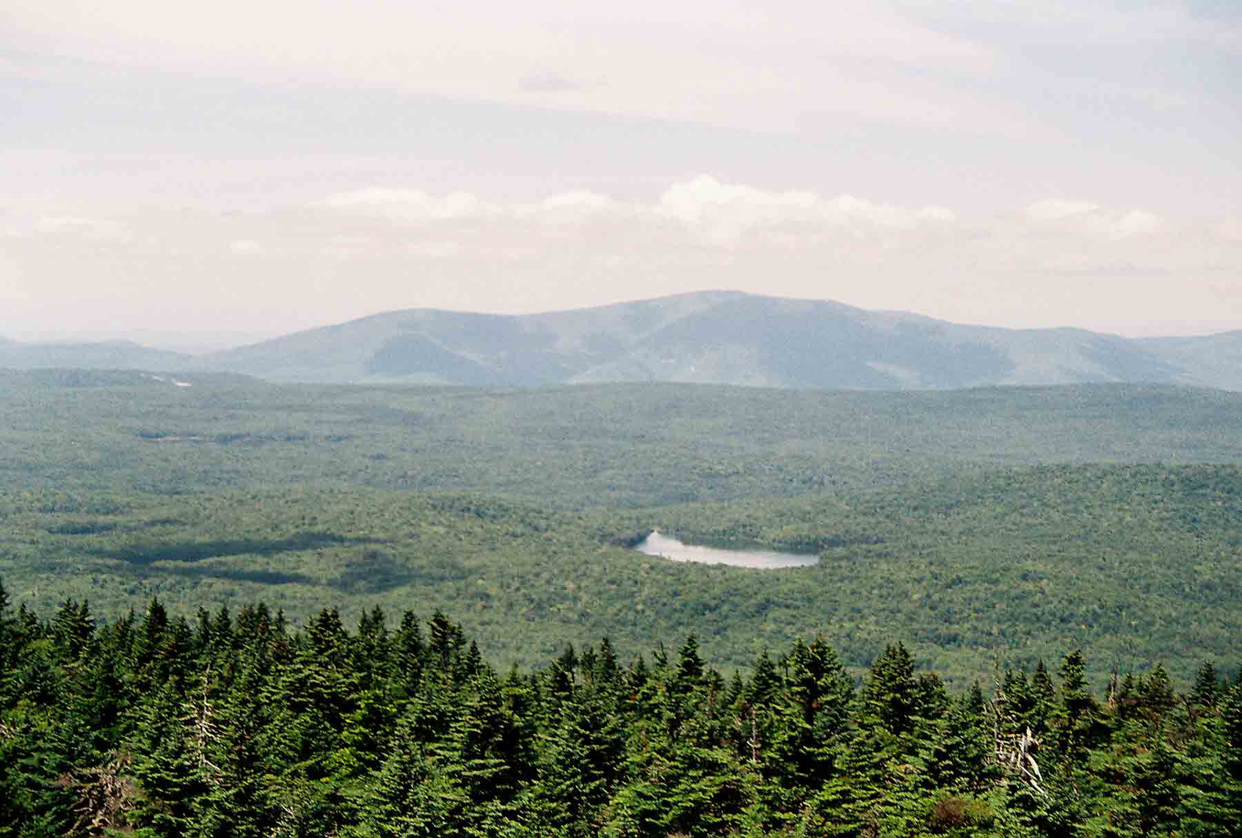
mm 13.7 - View to west from Stratton Firetower. Lake visible is Statton Pond. Though not visible there is a sharp dropoff at the far side of the plateau to the Valley of Vermont. The mountains visible are the Taconics on the west side of the valley.
Submitted by dlcul @ conncoll.edu
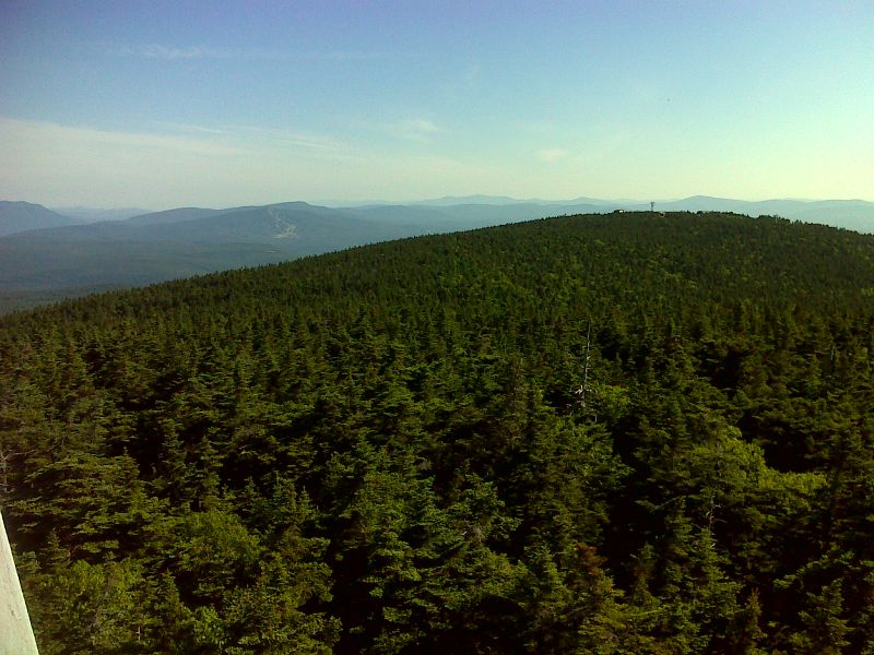
mm 13.7 View north from the Stratton Mountain firetower. The north summit of Stratton Mt. where the ski area is located is in the foreground. Bromley Mountain and its ski area are in the distance. GPS N43.0862 W72.9250
Submitted by pjwetzel @ gmail.com
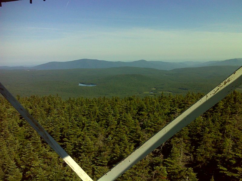
mm 13.7 View west towards Stratton Pond from the Stratton Mountain firetower. GPS N43.0862 W72.9250
Submitted by pjwetzel @ gmail.com
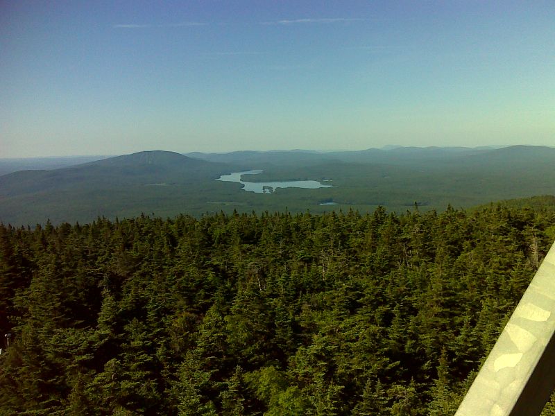
mm 13.7 View south towards Somerset Reservoir and Grout Pond from the Stratton Mountain firetower. GPS N43.0862 W72.9250
Submitted by pjwetzel @ gmail.com
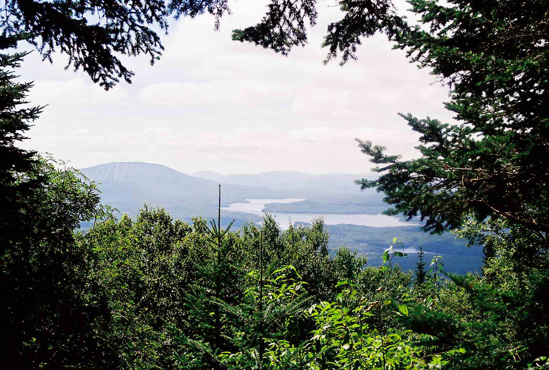
View to south from viewpoint on the south side of Stratton Peak. Lake is Somerset Reservoir. Taken from approx. Mile 15.5
Submitted by dlcul @ conncoll.edu
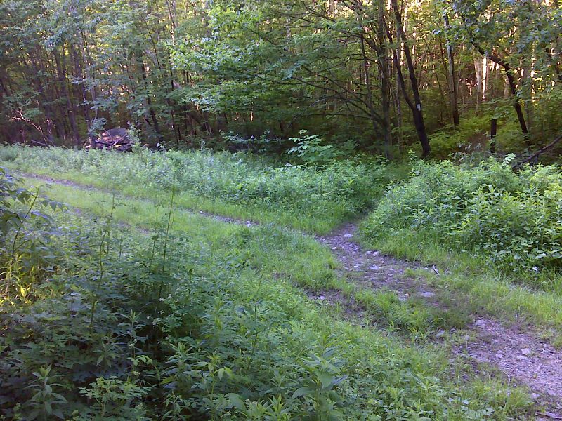
mm 16.1 Southern crossing of International Paper Company road (FS 341). GPS N43.0684 W72.9490
Submitted by pjwetzel @ gmail.com
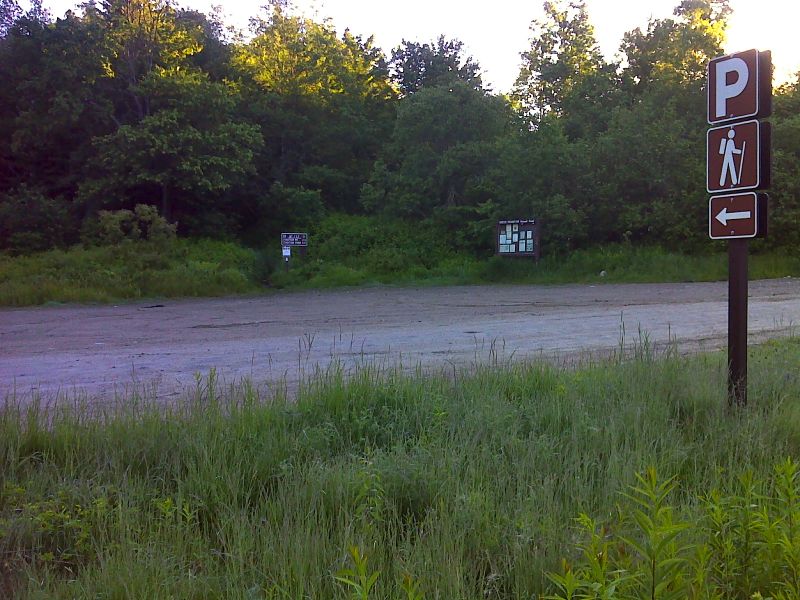
mm 17.5 Trailhead parking on Arlington-West Wardsboro (Kelly Stand) Road GPS N43.0684 W72.9490
Submitted by pjwetzel @ gmail.com