VT Section 8 Pictures - Milemarker 0.0 - 4.4
Kelly Stand Road - Beaver Pond near South Alder Brook
Move your mouse across the pictures for more information.
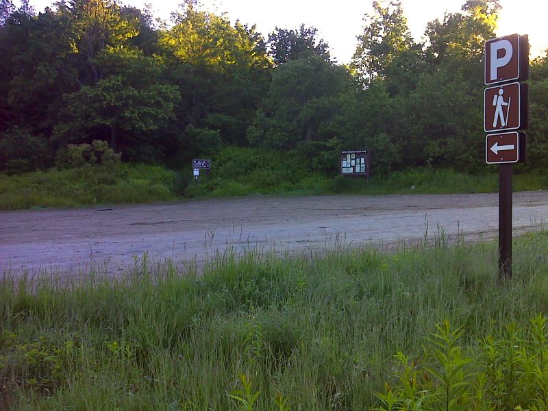
mm 0.0 Trailhead and parking area on Kelly Stand Road. GPS N43.0609 W72.9678
Submitted by pjwetzel @ gmail.com
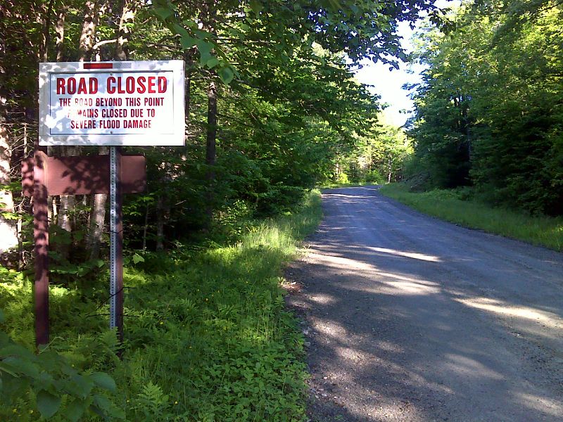
mm 0.0 Due to damage from Hurricane Irene, Kelly Stand Road is currently (June 2012) closed west of the AT crossing. GPS N43.0611 W72.9687
Submitted by pjwetzel @ gmail.com
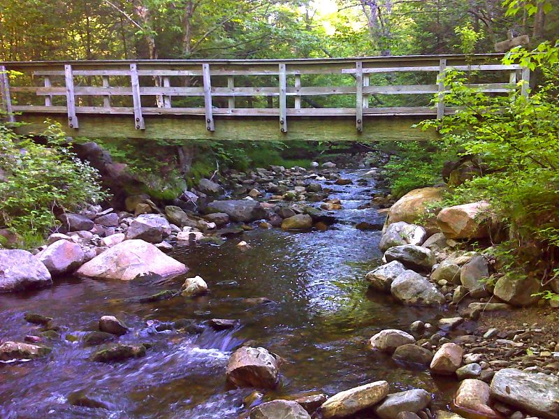
mm 0.9 Footbridge across Black Brook. GPS N43.0532 W72.9747
Submitted by pjwetzel @ gmail.com
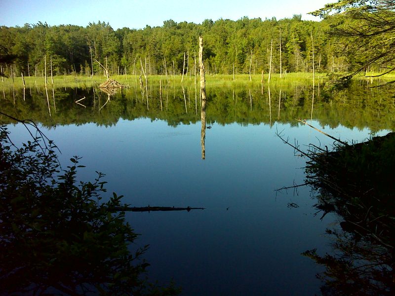
Beaver Pond between Black Brook and FS 71 GPS N43.0517 W72.9743
Submitted by pjwetzel @ gmail.com
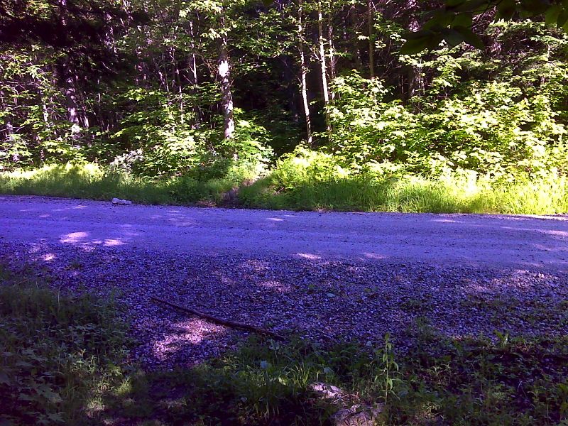
mm 2.0 Trail crossing of FS 71. GPS N43.0537 W72.9901
Submitted by pjwetzel @ gmail.com
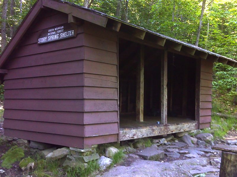
mm 3.6 Story Spring Shelter. GPS N43.0505 W73.0124
Submitted by pjwetzel @ gmail.com
Beaver Pond near South Alder Brook. Taken at approx. Mile 4.3
Submitted by dlcul @ conncoll.edu
Meadow and small pond near South Alder Brook. Taken at approx. Mile 4.4
Submitted by dlcul @ conncoll.edu