VT Section 8 Pictures - Milemarker 8.9 - 12.5
Big Rock - Goddard Shelter
Move your mouse across the pictures for more information.
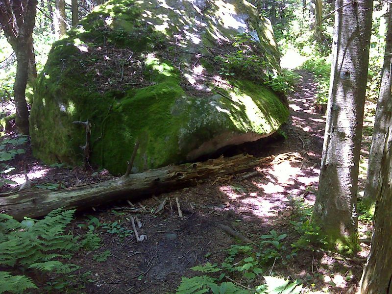
mm 8.9 Big Rock. GPS N43.0076 W 73.0475
Submitted by pjwetzel@gmail.com
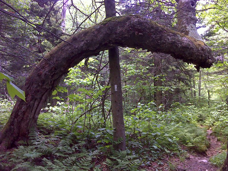
Exotic leaning tree. GPS N42.9957 W 73.0694
Submitted by pjwetzel @ gmail.com
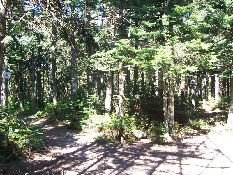
mm 12.2 Summit of Glastenbury Mountain
Submitted by dlcul @ conncoll.edu
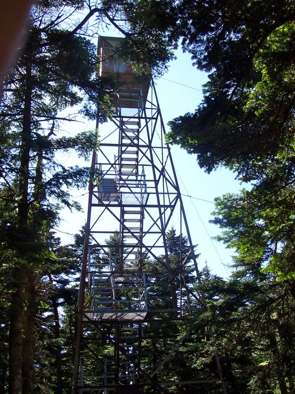
mm 12.2 Old fire tower on Glastenbury Mountain, now an observation tower.
Submitted by dlcul @ conncoll.edu
mm 12.2 - View north from firetower on Glastenbury Mt. The large moutain is Stratton. The northbound trail more or less follows the ridge on the left side of the picture then goes up and over the south peak of Stratton.
Submitted by dlcul @ conncoll.edu
mm 12.2 - View south from firetower on Glastenbury Mt. The large moutain in the distance is Mt. Greylock, highest point in Massachusetts.
Submitted by dlcul @ conncoll.edu
mm 12.2 - View west from firetower on Glastenbury Mt.
Submitted by dlcul @ conncoll.edu
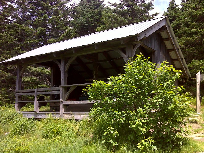
mm 12.5 Goddard Shelter. GPS N42.9741 W 73.0722
Submitted by pjwetzel @ gmail.com