VT Section 8 Pictures - Milemarker 20.5 - 22.6
Maple Hill - VT 9
Move your mouse across the pictures for more information.
mm 20.5 - View from powerline clearing on summit of Maple Hill towards Bennington
Submitted by dlcul @ conncoll.edu

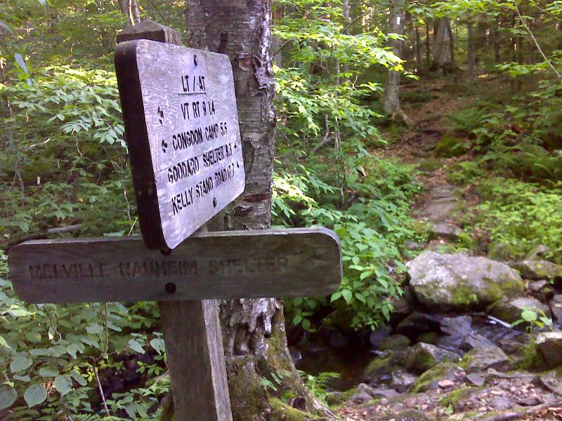
mm 21.0 Side Trail to Melville Nauheim Shelter. GPS N. 42.8878 W73.0965
Submitted by pjwetzel @ gmail.com

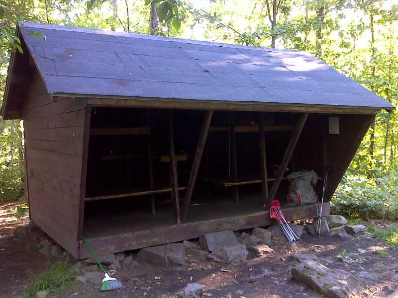
mm 21.0 Melville Nauheim Shelter. GPS N. 42.8879 W73.0956
Submitted by pjwetzel @ gmail.com
mm 21.9 - Split Rock. The trail passes through this, though there is a bypass.
Submitted by dlcul @ conncoll.edu

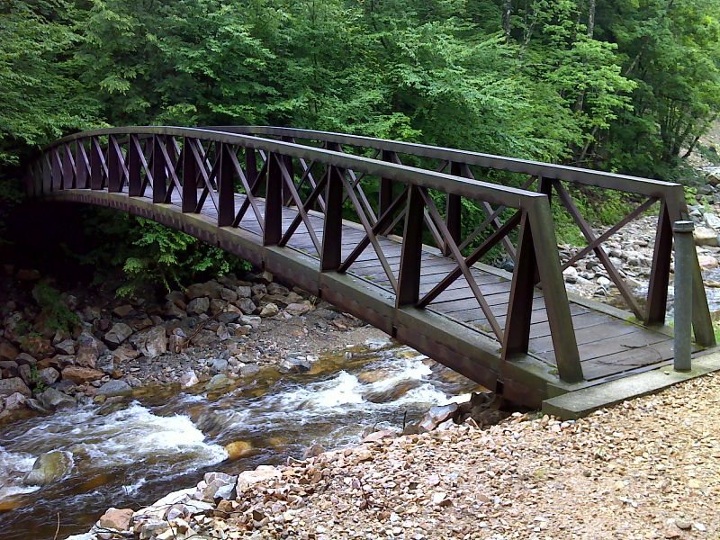
mm 22.6 William A. MacArthur Memorial Bridge across City Stream. This is just north of VT 9. A blue-blazed access trail leads to a large parking area. GPS N42.8844 W73.1155
Submitted by pjwetzel @ gmail.com

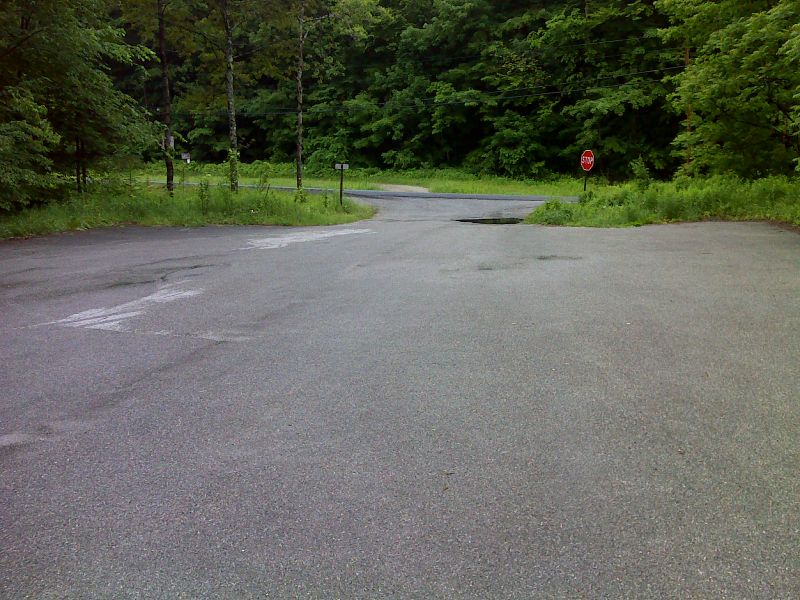
mm 22.6 Parking area on VT 9 east of Bennington. GPS N. 42.8852 W73.1153
Submitted by pjwetzel @ gmail.com