VT Section 9 Pictures - Milemarker 5.0 - 11.5
Stamford Stream - Seth Warner Shelter
Move your mouse across the pictures for more information.
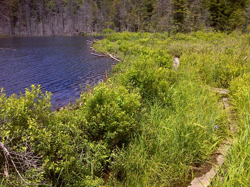
Puncheon below beaver dam. GPS 42.8373 N73.1192
Submitted by pjwetzel @ gmail.com
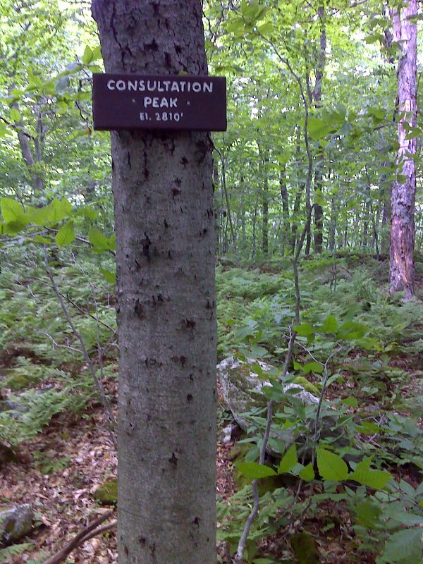
mm 7.3 Consultation Peak, so named because trail crews would meet here to discuss maintenance issues. GPS N42.8148 W 73.1217
Submitted by pjwetzel @ gmail.com
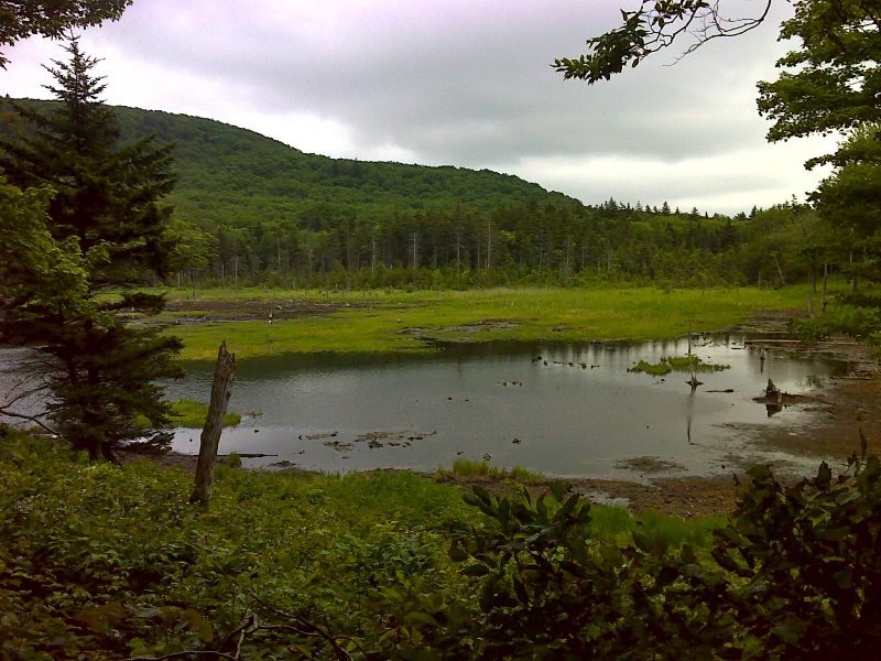
mm 8.5 Beaver Pond at Roaring Branch. GPS N42.8010 W 73.1176
Submitted by pjwetzel @ gmail.com
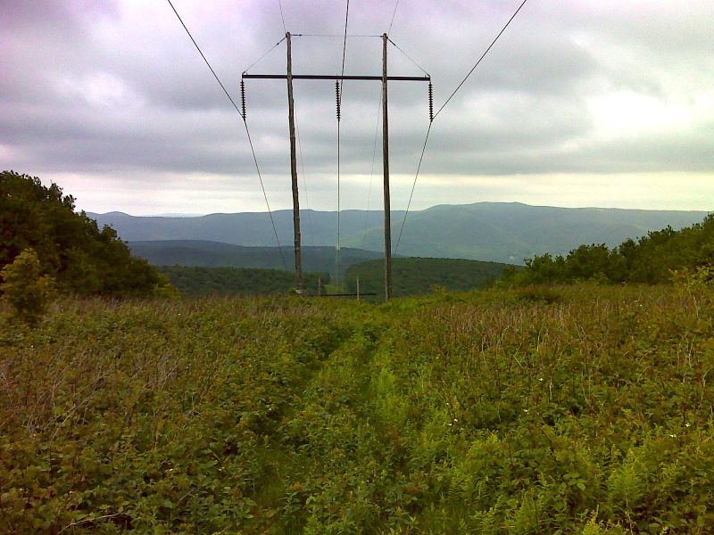
mm 9.4 View east along power line crossing. GPS N42.7911 W 73.1182
Submitted by pjwetzel @ gmail.com
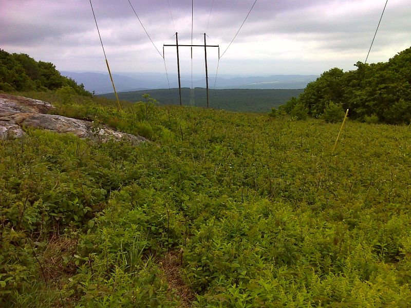
mm 9.4 View west along power line crossing. GPS N42.7912 W 73.1187
Submitted by pjwetzel @ gmail.com
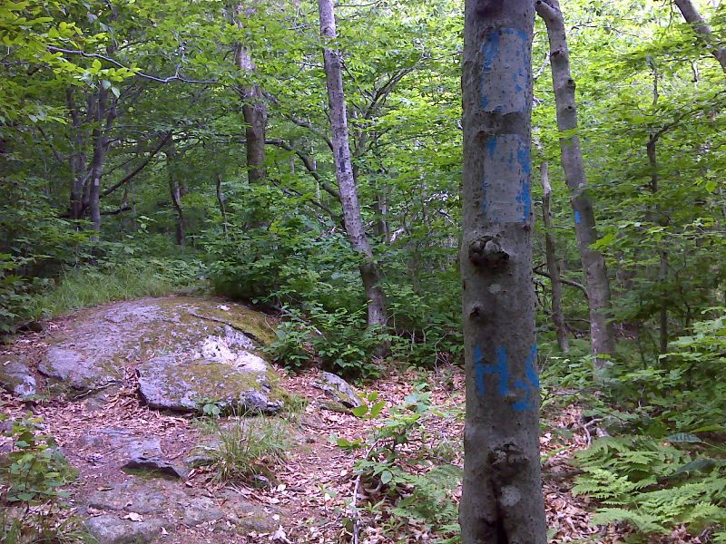
Side trail to Ed''s Spring. GPS N42.7842 W 73.1236
Submitted by pjwetzel @ gmail.com
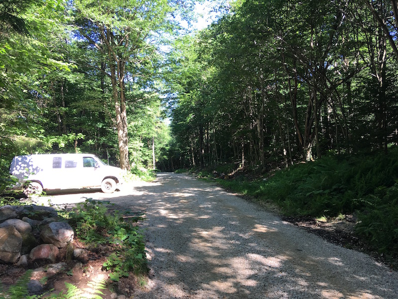
mm 11.2 County Road and AT Parking area as it appeared in July 2018
Submitted by silcassano @ gmail.com
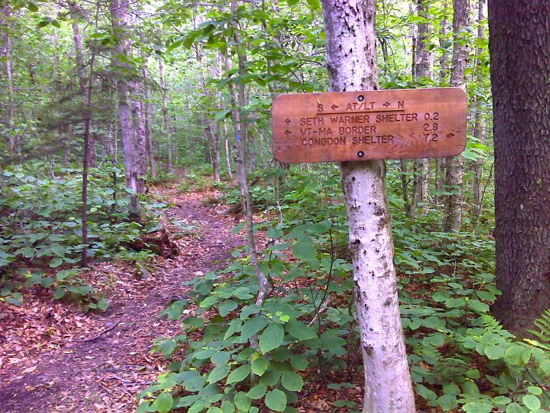
mm 11.5 Side trail to Seth Warner Shelter. GPS N42.7708 W 73.1347
Submitted by pjwetzel @ gmail.com